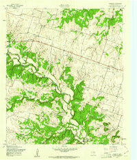
1957 Map of Purmela
USGS Topo · Published 1961About this map
Purmela sits at the northern end of this mid-century Coryell County landscape, where the local community was served by the Purmela Sch and nearby South Purmela. The terrain is defined by the winding course of Cowhouse Creek and its tributaries, including Honey Creek, Camp Branch, and Blue Branch. Significant elevation changes are marked by prominent heights such as Culp Mountain, McCluskey Mountain, and Bagget Mountain in the southeast.
Find a feature on this map
17 named features on this map. Tap any name to fly to it.
Don’t see what you’re looking for? This feature index may not catch every label — zoom into the map to look around manually.
Map Details
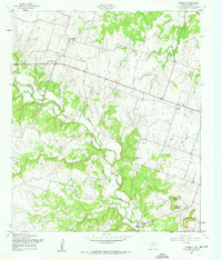
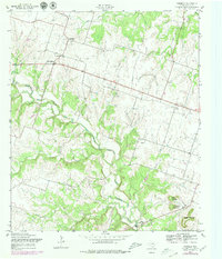
Editions of this 1957 Purmela Map
3 editions found
Other maps of this area

1887 · Lampasas
USGS Topo · 1:125,000

1888 · Hamilton
USGS Topo · 1:125,000

1888 · Meridian
USGS Topo · 1:125,000

1894 · Hamilton
USGS Topo · 1:125,000

1894 · Meridian
USGS Topo · 1:125,000

1894 · Lampasas
USGS Topo · 1:125,000

1894 · Gatesville
USGS Topo · 1:125,000

1947 · Purmela
USGS Topo · 1:62,500

1947 · Gatesville West
USGS Topo · 1:24,000

1947 · Pidcoke
USGS Topo · 1:24,000