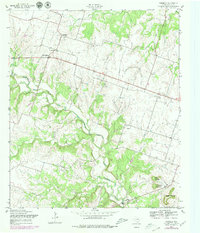
1957 Map of Purmela
USGS Topo · Published 1979About this map
Purmela and South Purmela serve as the primary hubs for this rural Coryell County landscape, situated amidst a terrain defined by significant creek drainages and high points. The educational and community focus of the mid-20th century is evident at the Purmela Sch, while local family history is anchored at Smith Cem and King Cem. To the southeast, the small settlements of Arnett and King sit near the winding course of Cowhouse Creek, which is fed by numerous tributaries including Honey Creek and Bee Creek.
Find a feature on this map
19 named features on this map. Tap any name to fly to it.
Don’t see what you’re looking for? This feature index may not catch every label — zoom into the map to look around manually.
Map Details
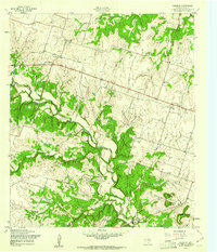
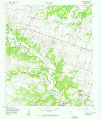
Editions of this 1957 Purmela Map
3 editions found
Other maps of this area

1887 · Lampasas
USGS Topo · 1:125,000

1888 · Hamilton
USGS Topo · 1:125,000

1888 · Meridian
USGS Topo · 1:125,000

1894 · Hamilton
USGS Topo · 1:125,000

1894 · Meridian
USGS Topo · 1:125,000

1894 · Lampasas
USGS Topo · 1:125,000

1894 · Gatesville
USGS Topo · 1:125,000

1947 · Purmela
USGS Topo · 1:62,500

1947 · Gatesville West
USGS Topo · 1:24,000

1947 · Pidcoke
USGS Topo · 1:24,000