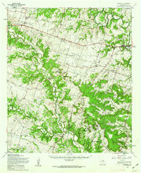
1958 Map of Purmela
USGS Topo · Published 1962About this map
The Leon River winds through the northeast corner of this central Texas landscape, where the Gatesville State School for Boys stands as a prominent landmark just north of Gatesville. The map captures a transition from the river valley into the broken terrain of the Shell Mountains, characterized by high points like Williamson Mountain and Bagget Mountain. Local life in the late 1950s is anchored by small rural centers such as Purmela, King, and Pidcoke, many of which supported their own institutions like the Purmela Sch and the Standlee Chapel. For genealogists, the map preserves the locations of the Hermeline Cem and several unnamed cemeteries. Transportation history is evidenced by an Old Railroad Grade following the river and a Pipeline cutting across the southern hills, while the Reservation Boundary indicates the edge of military territory in the southeast near Graham Gap.
Find a feature on this map
45 named features on this map. Tap any name to fly to it.
Don’t see what you’re looking for? This feature index may not catch every label — zoom into the map to look around manually.
Map Details
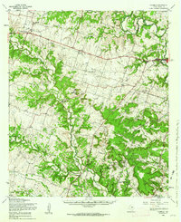
Editions of this 1958 Purmela Map
2 editions found
Other maps of this area

1887 · Lampasas
USGS Topo · 1:125,000

1888 · Hamilton
USGS Topo · 1:125,000

1888 · Meridian
USGS Topo · 1:125,000

1894 · Hamilton
USGS Topo · 1:125,000

1894 · Meridian
USGS Topo · 1:125,000

1894 · Lampasas
USGS Topo · 1:125,000

1894 · Gatesville
USGS Topo · 1:125,000

1930 · Killeen
USGS Topo · 1:62,500

1947 · Fort Hood
USGS Topo · 1:62,500

1947 · Fort Hood
USGS Topo · 1:24,000