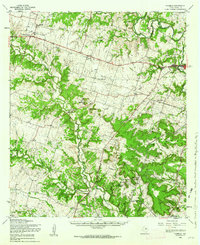
1958 Map of Purmela
USGS Topo · Published 1962About this map
Cowhouse Creek and the Leon River define the undulating landscape of western Coryell County, where small agricultural hubs like Purmela, Arnett, and King established themselves along the early road network. This mid-century survey illustrates the rural infrastructure of the era, from the Purmela Sch and Purmela Cem to the scattered country sanctuaries of Bethel Heights Ch and Standlee Chapel. The northeastern corner is dominated by the county seat of Gatesville, including the expansive grounds of the Gatesville State School for Boys. Southward, the terrain becomes increasingly complex as it rises into the Shell Mountains, a series of prominent elevations like Stampede Mtn and Bushy Knob. A significant portion of the southern landscape is occupied by the Fort Hood Military Reservation, its northern Reservation Boundary cutting across the rugged hills and gaps of the Leon River valley.
Find a feature on this map
47 named features on this map. Tap any name to fly to it.
Don’t see what you’re looking for? This feature index may not catch every label — zoom into the map to look around manually.
Map Details
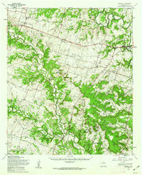
Editions of this 1958 Purmela Map
2 editions found
Other maps of this area

1887 · Lampasas
USGS Topo · 1:125,000

1888 · Hamilton
USGS Topo · 1:125,000

1888 · Meridian
USGS Topo · 1:125,000

1894 · Hamilton
USGS Topo · 1:125,000

1894 · Meridian
USGS Topo · 1:125,000

1894 · Lampasas
USGS Topo · 1:125,000

1894 · Gatesville
USGS Topo · 1:125,000

1930 · Killeen
USGS Topo · 1:62,500

1947 · Fort Hood
USGS Topo · 1:62,500

1947 · Fort Hood
USGS Topo · 1:24,000