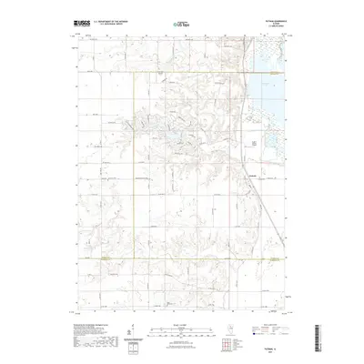
2021 Map of Putnam
USGS Topo · Published 2021About this map
Putnam serves as the primary settlement in this Illinois landscape, situated near the western shores of Senachwine Lake. The area is characterized by a network of rural roads and residential developments such as those found along Lake Thunderbird Dr and Skinner Dr. Agricultural land is interspersed with significant local landmarks, including several burial grounds that provide a genealogical record for the region, such as Lone Tree Cem, Putnam Cem, and Sugar Grove Cem. The map tracks the boundaries where Bureau, Putnam, and Marshall counties meet, following natural drainage patterns like Senachwine Creek and Crow Cr. Small-scale aviation is represented by facilities like the Ralph E Daniels Airport, reflecting the local infrastructure of the early 21st century.
Find a feature on this map
46 named features on this map. Tap any name to fly to it.
Don’t see what you’re looking for? This feature index may not catch every label — zoom into the map to look around manually.
Map Details
Editions of this 2021 Putnam Map
This is the sole edition of this map. No revisions or reprints were ever made.
Other maps of this area

1893 · Lacon
USGS Topo · 1:62,500

1893 · Hennepin
USGS Topo · 1:62,500

1909 · Hennepin
USGS Topo · 1:62,500

1911 · Hennepin
USGS Topo · 1:62,500

1921 · Buda
USGS Topo · 1:62,500

1923 · Buda
USGS Topo · 1:62,500

1933 · Lacon
USGS Topo · 1:62,500

1933 · Camp Grove
USGS Topo · 1:48,000

1937 · Lacon
USGS Topo · 1:62,500

1945 · Bradford
USGS Topo · 1:62,500