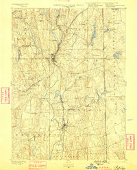
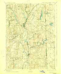
1893 Map of Putnam
USGS Topo · Published 1898About this map
Industrial mill villages and rural crossroads define the Windham County landscape in the late nineteenth century. The Quinebaug River and French River serve as the primary hydrologic anchors, powering a network of settlements like Grosvenor Dale and Mechanicsville. These valleys are paralleled by the vital Norwich and Worcester Railroad, which facilitates the movement of goods through the heart of Putnam.
Find a feature on this map
93 named features on this map. Tap any name to fly to it.
Don’t see what you’re looking for? This feature index may not catch every label — zoom into the map to look around manually.
Map Details
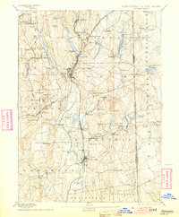
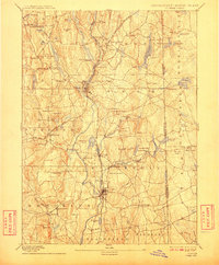
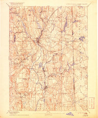
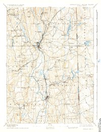
Editions of this 1893 Putnam Map
8 editions found


Other maps of this area

1886 · Blackstone
USGS Topo · 1:62,500

1887 · Brookfield
USGS Topo · 1:62,500

1889 · Blackstone
USGS Topo · 1:62,500

1889 · Webster
USGS Topo · 1:62,500

1889 · Putnam
USGS Topo · 1:62,500

1889 · Burrillville
USGS Topo · 1:62,500

1889 · Moosup
USGS Topo · 1:62,500

1890 · Brookfield
USGS Topo · 1:62,500

1890 · Kent
USGS Topo · 1:62,500

1892 · Woodstock
USGS Topo · 1:62,500