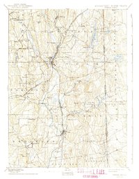
1893 Map of Putnam
USGS Topo · Published 1941About this map
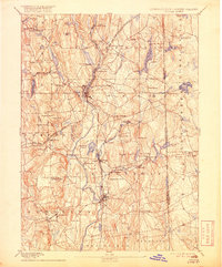
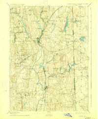
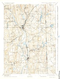
The Quinebaug River and its tributaries drive the industrial and agricultural character of this Windham County borderland during the late nineteenth century. Two major rail corridors, the New York And New England Railroad and the Norwich And Worcester Railroad, intersect at Putnam, facilitating the movement of goods from local textile hubs like Attawaugan and Ballouville. The landscape is a network of small mill villages and hilltop settlements, where landmarks like Cooke Store and Putnam Farm represent the era's commerce and land use. Along the state line with Rhode Island, the terrain rises toward Jerimoth Hill and Pine Hill, while water resources are managed through systems like the Quaddick Reservoir and Chase Reservoir. This map documents a period when water power still dictated the placement of communities such as Dayville, Williamsville, and Mechanicsville along the riverbanks.
Find a feature on this map
93 named features on this map. Tap any name to fly to it.
Don’t see what you’re looking for? This feature index may not catch every label — zoom into the map to look around manually.
Map Details
Editions of this 1893 Putnam Map
8 editions found

Other maps of this area

1886 · Blackstone
USGS Topo · 1:62,500

1887 · Brookfield
USGS Topo · 1:62,500

1889 · Blackstone
USGS Topo · 1:62,500

1889 · Webster
USGS Topo · 1:62,500

1889 · Putnam
USGS Topo · 1:62,500

1889 · Burrillville
USGS Topo · 1:62,500

1889 · Moosup
USGS Topo · 1:62,500

1890 · Brookfield
USGS Topo · 1:62,500

1890 · Kent
USGS Topo · 1:62,500

1892 · Woodstock
USGS Topo · 1:62,500