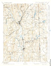
1893 Map of Putnam
USGS Topo · Published 1935About this map
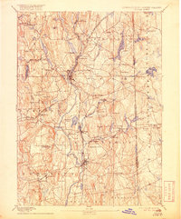
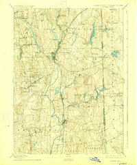
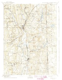
Industrial textile villages and agricultural hills define the Windham County landscape at the close of the 19th century. The Quinebaug River and French River serve as the primary industrial arteries, their banks crowded with settlements like North Grosvenor Dale and Mechanicsville. These mill towns are tightly integrated into the wider region via the Norwich and Worcester Railroad, while the New York and New England Railroad cuts westward through Pomfret Station. Away from the river valleys, the map shows the transition to upland farming and early water management, visible in the Quaddick Reservoir and Chestnut Hill Reservoir. Local commerce centers on established hubs such as Danielson and Putnam, while more isolated crossroads like East Putnam and Killingly Center provide a look at the rural social structure of eastern Connecticut before the automobile era.
Find a feature on this map
89 named features on this map. Tap any name to fly to it.
Don’t see what you’re looking for? This feature index may not catch every label — zoom into the map to look around manually.
Map Details
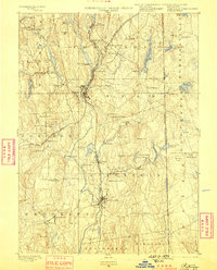
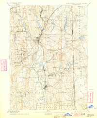
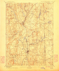
Editions of this 1893 Putnam Map
8 editions found

Other maps of this area

1886 · Blackstone
USGS Topo · 1:62,500

1887 · Brookfield
USGS Topo · 1:62,500

1889 · Blackstone
USGS Topo · 1:62,500

1889 · Webster
USGS Topo · 1:62,500

1889 · Putnam
USGS Topo · 1:62,500

1889 · Burrillville
USGS Topo · 1:62,500

1889 · Moosup
USGS Topo · 1:62,500

1890 · Brookfield
USGS Topo · 1:62,500

1890 · Kent
USGS Topo · 1:62,500

1892 · Woodstock
USGS Topo · 1:62,500