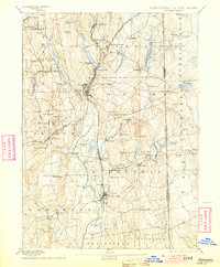
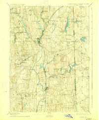
1893 Map of Putnam
USGS Topo · Published 1904About this map
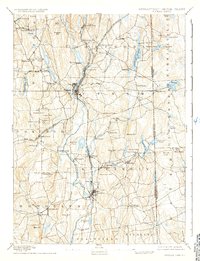
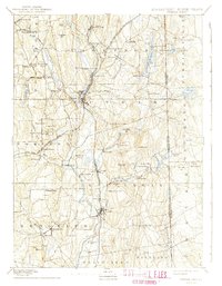
The Quinebaug River and French River valley serves as the industrial spine of this Northeast Connecticut landscape, where the Norwich and Worcester Railroad parallels the water to connect mill settlements like Mechanicsville and North Grosvenor Dale. The convergence of rail lines at Putnam highlights its importance as a regional hub during this era of manufacturing growth. Further south, Danielsonville stands as a primary population center along the river, surrounded by numerous reservoirs and ponds that powered the local economy, such as Quaddick Reservoir and Alexander Pond.
Find a feature on this map
95 named features on this map. Tap any name to fly to it.
Don’t see what you’re looking for? This feature index may not catch every label — zoom into the map to look around manually.
Map Details
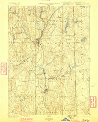
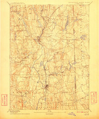
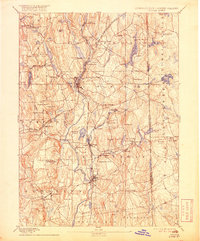
Editions of this 1893 Putnam Map
8 editions found

Other maps of this area

1886 · Blackstone
USGS Topo · 1:62,500

1887 · Brookfield
USGS Topo · 1:62,500

1889 · Blackstone
USGS Topo · 1:62,500

1889 · Webster
USGS Topo · 1:62,500

1889 · Putnam
USGS Topo · 1:62,500

1889 · Burrillville
USGS Topo · 1:62,500

1889 · Moosup
USGS Topo · 1:62,500

1890 · Brookfield
USGS Topo · 1:62,500

1890 · Kent
USGS Topo · 1:62,500

1892 · Woodstock
USGS Topo · 1:62,500