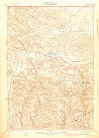
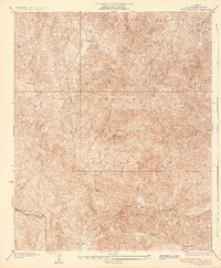
1938 Map of Quail
USGS Topo · Published 1938About this map
The San Andreas Rift Zone forms a striking diagonal through this high-altitude landscape, where the Tehachapi Mountains meet the Antelope Valley. This 1930s survey captures a critical corridor of California transportation and utility history, dominated by the original Old Ridge Route and the path of Highway 99. The terrain is marked by remote outposts such as the U S Weather Bureau Station and the settlement of Sandberg, reflecting the era's reliance on mountain passes for commerce and communication.
Find a feature on this map
19 named features on this map. Tap any name to fly to it.
Don’t see what you’re looking for? This feature index may not catch every label — zoom into the map to look around manually.
Map Details
Editions of this 1938 Quail Map
5 editions found

Other maps of this area

1903 · Tejon
USGS Topo · 1:125,000

1931 · Redrock Mtn
USGS Topo · 1:24,000

1932 · Beartrap Canyon
USGS Topo · 1:24,000

1932 · Neenach
USGS Topo · 1:24,000

1933 · Quail
USGS Topo · 1:24,000

1933 · Gorman
USGS Topo · 1:24,000
1936 · Redrock Mtn.
USGS Topo · 1:24,000

1938 · Beartrap Canyon
USGS Topo · 1:24,000

1938 · Gorman
USGS Topo · 1:24,000

1938 · Liebre
USGS Topo · 1:24,000