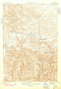
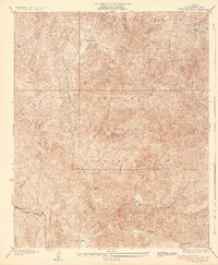
1938 Map of Quail
USGS Topo · Published 1948About this map
The San Andreas Rift Zone dominates the structural character of this landscape, carving a distinct east-west depression that cradles Quail Lake. This high-altitude corridor between the Tehachapi Mountains and the Liebre Mountains served as a critical transit route in the late 1940s, anchored by the Golden State Highway and the Lancaster Road. Local life centers on scattered mountain outposts such as Kinsey Ranch and the Quail Lake Sch, alongside the specialized infrastructure required for this remote pass. The presence of a U S Weather Bureau Station and a Pumping Sta underscores the area's importance as a utility and communications hub. To the south, the terrain climbs into the protected lands of the Los Padres National Forest and the Angeles National Forest, where the settlement at Sandberg and the Tumble Inn mark historical stops along Route N.
Find a feature on this map
26 named features on this map. Tap any name to fly to it.
Don’t see what you’re looking for? This feature index may not catch every label — zoom into the map to look around manually.
Map Details
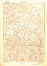
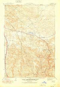
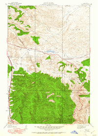
Editions of this 1938 Quail Map
5 editions found

Other maps of this area

1903 · Tejon
USGS Topo · 1:125,000

1931 · Redrock Mtn
USGS Topo · 1:24,000

1932 · Beartrap Canyon
USGS Topo · 1:24,000

1932 · Neenach
USGS Topo · 1:24,000

1933 · Quail
USGS Topo · 1:24,000

1933 · Gorman
USGS Topo · 1:24,000
1936 · Redrock Mtn.
USGS Topo · 1:24,000

1938 · Beartrap Canyon
USGS Topo · 1:24,000

1938 · Gorman
USGS Topo · 1:24,000

1938 · Liebre
USGS Topo · 1:24,000