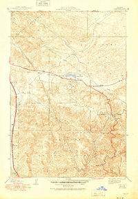
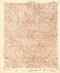
1938 Map of Quail
USGS Topo · Published 1951About this map
The San Andreas Rift Zone dominates the structural character of this landscape, cutting through the high country where the Tehachapi Mountains and Liebre Mountains meet. In this 1950s-era revision of earlier surveys, the Golden State Highway and Lancaster Road serve as the primary arteries for a sparse network of mountain outposts and utilitarian stations. Water is a defining feature of the high desert transition, centered on Quail Lake and the drainage of Oso Canyon. Notable human activity is clustered around specific named sites such as the Quail Lake Sch, the U S Weather Bureau Station, and the Oakdale Canyon Guard Sta, reflecting the importance of monitoring and management in the Angeles National Forest. Small ranching and traveler-oriented settlements like Kinsey Ranch, Tumble Inn, and Sandberg mark the passage through this steep terrain.
Find a feature on this map
30 named features on this map. Tap any name to fly to it.
Don’t see what you’re looking for? This feature index may not catch every label — zoom into the map to look around manually.
Map Details
Editions of this 1938 Quail Map
5 editions found

Other maps of this area

1903 · Tejon
USGS Topo · 1:125,000

1931 · Redrock Mtn
USGS Topo · 1:24,000

1932 · Beartrap Canyon
USGS Topo · 1:24,000

1932 · Neenach
USGS Topo · 1:24,000

1933 · Quail
USGS Topo · 1:24,000

1933 · Gorman
USGS Topo · 1:24,000
1936 · Redrock Mtn.
USGS Topo · 1:24,000

1938 · Beartrap Canyon
USGS Topo · 1:24,000

1938 · Gorman
USGS Topo · 1:24,000

1938 · Liebre
USGS Topo · 1:24,000