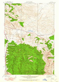
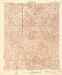
1938 Map of Quail
USGS Topo · Published 1951About this map
San Andreas Rift defines the central axis of this landscape, creating the linear depression that holds Quail Lake and shapes the local geography at the junction of the Antelope Valley and the Liebre Mountains. The map reveals a transition from open ranching lands to the densely forested slopes of the Angeles National Forest. Significant transportation routes including the Golden State Highway and the Old Ridge Route trace the steep terrain, supported by infrastructure like the Lancaster Pumping Sta and a U S Weather Bureau Station. Smaller settlements and remote outposts such as Sandberg, Kinsey Ranch, and Tumble Inn dot the mountain passes, while the Quail Lake Sch served the rural families living along the Lancaster Road before mid-century developments altered these high-altitude corridors.
Find a feature on this map
26 named features on this map. Tap any name to fly to it.
Don’t see what you’re looking for? This feature index may not catch every label — zoom into the map to look around manually.
Map Details
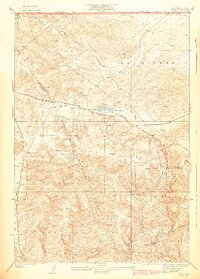
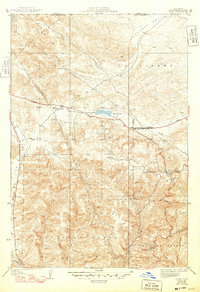
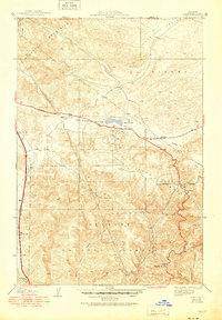
Editions of this 1938 Quail Map
5 editions found

Other maps of this area

1903 · Tejon
USGS Topo · 1:125,000

1931 · Redrock Mtn
USGS Topo · 1:24,000

1932 · Beartrap Canyon
USGS Topo · 1:24,000

1932 · Neenach
USGS Topo · 1:24,000

1933 · Quail
USGS Topo · 1:24,000

1933 · Gorman
USGS Topo · 1:24,000
1936 · Redrock Mtn.
USGS Topo · 1:24,000

1938 · Beartrap Canyon
USGS Topo · 1:24,000

1938 · Gorman
USGS Topo · 1:24,000

1938 · Liebre
USGS Topo · 1:24,000