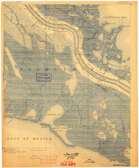
1892 Map of Quarantine
USGS Topo · Published 1898About this map
Guyot Settlement and Buras Settlement sit along the fertile natural levees of the Mississippi River, showcasing the thin ribbon of habitable land in the lower delta during the late nineteenth century. This survey, conducted by J.W. Powell and the USGS, captures the intricate network of water and marsh south of New Orleans before modern coastal erosion and engineering significantly altered the shoreline. The map documents numerous small riverside communities like Potash, Empire, and Home Place, as well as the strategic Quarantine station. To the west and east, the landscape dissolves into a complex system of bays and bayous, including Adams Bay, Bastian Bay, and Quarantine Bay. The presence of the Rappette Canal and Bardel Canal highlights early efforts to navigate these wetlands, while landmarks such as 60 Mile Point served as vital markers for river pilots navigating the river's Tropical Bend.
Find a feature on this map
58 named features on this map. Tap any name to fly to it.
Don’t see what you’re looking for? This feature index may not catch every label — zoom into the map to look around manually.
Map Details
Editions of this 1892 Quarantine Map
5 editions found
Other maps of this area

1891 · Pointe a La Hache
USGS Topo · 1:62,500

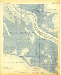
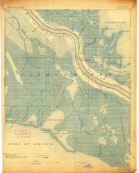
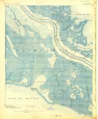
1892 · Quarantine
USGS Topo · 1:62,500

1892 · Pointe a La Hache
USGS Topo · 1:62,500

1893 · La Fortuna
USGS Topo · 1:62,500

1893 · Forts
USGS Topo · 1:62,500

1893 · Fort Livingston
USGS Topo · 1:62,500

1893 · Dime
USGS Topo · 1:62,500

1893 · West Delta
USGS Topo · 1:62,500

1935 · Port Sulphur
USGS Topo · 1:31,680

1935 · Bastian Bay
USGS Topo · 1:31,680