
1892 Map of Quarantine
USGS Topo · Published 1892About this map
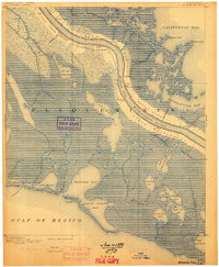
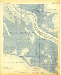
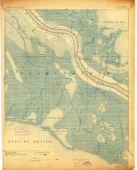
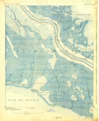
The Mississippi River defines the landscape of Plaquemines Parish in the late nineteenth century, flanked by narrow ribbons of habitable land and vast tidal marsh. At Tropical Bend and Buras Settlement, the topography shows the precarious nature of early river life before modern levee systems were fully realized. The presence of the Quarantine station near the mouth of the river indicates the critical role this reach played in maritime health and border control. Small residential clusters like Guyot Settlement, Potash, and Little Texas are situated on the natural levees, while the surrounding territory is dominated by complex water bodies such as Bay de la Cheniere and California Bay. For researchers, the map provides a unique view of the pre-industrial delta, documenting early canals like Rappelle Canal and the exact location of 60 Mile Point along the winding river course.
Find a feature on this map
61 named features on this map. Tap any name to fly to it.
Don’t see what you’re looking for? This feature index may not catch every label — zoom into the map to look around manually.
Map Details
Editions of this 1892 Quarantine Map
5 editions found
Other maps of this area

1891 · Pointe a La Hache
USGS Topo · 1:62,500

1892 · Pointe a La Hache
USGS Topo · 1:62,500

1893 · La Fortuna
USGS Topo · 1:62,500

1893 · Forts
USGS Topo · 1:62,500

1893 · Fort Livingston
USGS Topo · 1:62,500

1893 · Dime
USGS Topo · 1:62,500

1893 · West Delta
USGS Topo · 1:62,500

1935 · Port Sulphur
USGS Topo · 1:31,680

1935 · Bastian Bay
USGS Topo · 1:31,680

1935 · Bay Ronquille
USGS Topo · 1:31,680