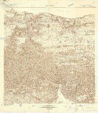
1938 Map of Quebradillas
USGS Topo · Published 1938About this map
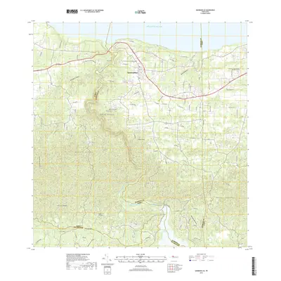
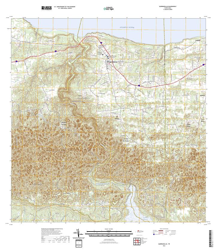
The American Railroad of Porto Rico skirts the northern coastline of this coastal region, where limestone cliffs drop toward the Atlantic Ocean. Inland from the settlement of Quebradillas, the landscape transitions into a dense network of rural schoolhouses and family-named landmarks. This survey, compiled from work in 1922 and 1937–1938, captures a critical era of civic infrastructure. Dozens of rural schools, such as Escuela Honorio Mano Towney and the McKinley School, are meticulously plotted alongside religious sites like the Iglesia Virgen del Carmen. The topography is defined by prominent heights including Cerro Alto and Monte Iguina, while the southern reaches show the boundary divisions for the Municipio de Isabela Municipio de San Sebastian. The concentration of schools suggests a period of significant educational expansion across the hills and valleys of this northern Puerto Rican municipality.
Find a feature on this map
45 named features on this map. Tap any name to fly to it.
Don’t see what you’re looking for? This feature index may not catch every label — zoom into the map to look around manually.
Map Details
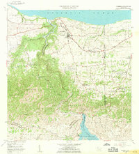
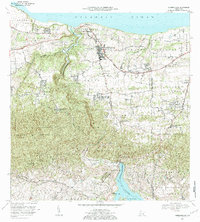
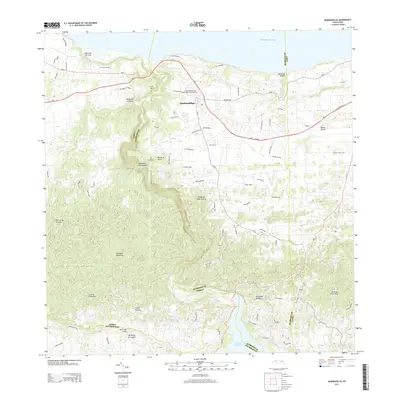
Editions of this 1938 Quebradillas Map
2 editions found

Historical Maps of Quebradillas Through Time
6 maps found
Featured Locations
- Reparto Apolonio Vélez Ramos, Isabela
- Brisas de la Sabana, Camuy
- Urb. Brisas del Valle, Camuy
- Urbanización Vista al Calvario, Camuy
- Quebradillas, Quebradillas