Loading...
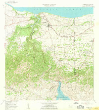
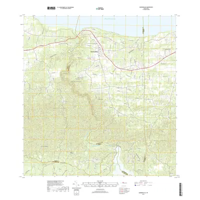
Loading map...1957 Map of Quebradillas
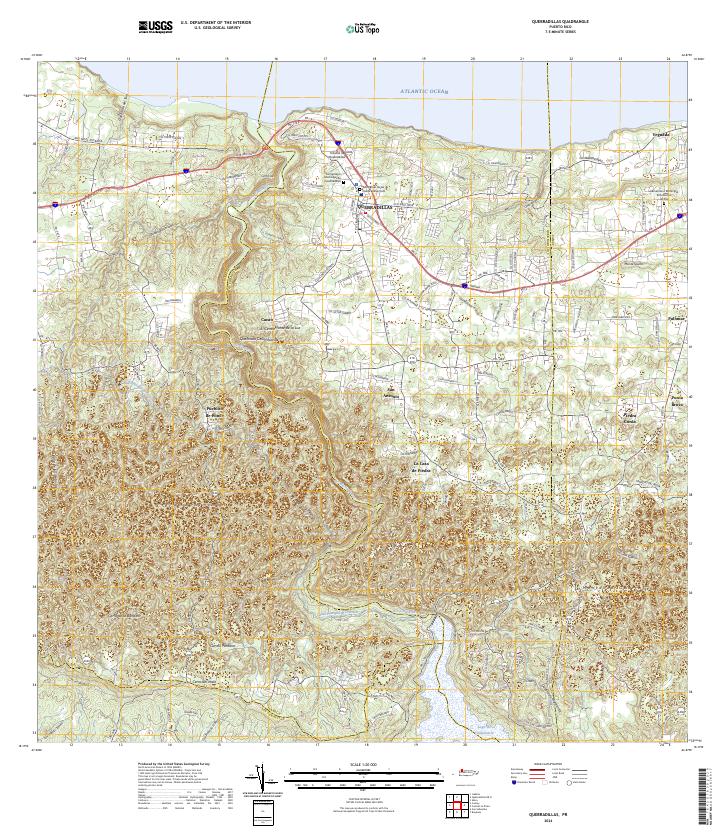
USGS Topo · Published 1970About this map
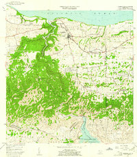
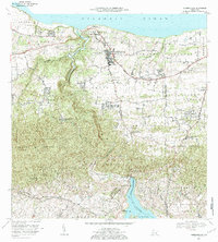
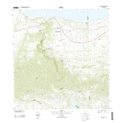
Quebradillas stands as the primary urban center on this mid-century survey, overlooking the Atlantic Ocean and the winding course of the Rio Guajataca. The landscape is defined by the sharp transition from the coastal plains of Terranova and San Jose to the limestone hills of Charcas and Planas in the south. A notable engineering feature is the Via Antigua del Ferrocarril, tracing the northern coastline and signaling the region's historical reliance on rail for transporting agricultural products.
Find a feature on this map
61 named features on this map. Tap any name to fly to it.
Don’t see what you’re looking for? This feature index may not catch every label — zoom into the map to look around manually.
Map Details
Date Portrayed1957
Date Published1970
PublisherU.S. Geological Survey
Map TypeTopographic
Scale1:20,000
Physical Dimensions29.2 x 32.2 inches
Editions of this 1957 Quebradillas Map
2 editions found
Historical Maps of Quebradillas Through Time
6 maps found

Featured Locations
- Reparto Apolonio Vélez Ramos, Isabela
- Brisas de la Sabana, Camuy
- Hacienda La Sabana, Camuy
- Villa Ledumerced, Quebradillas
- Quebradillas, Quebradillas
Source Details
SourceU.S. Geological Survey
CopyrightPublic Domain