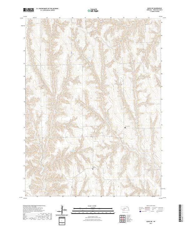
2021 Map of Quick NE
USGS Topo · Published 2021About this map
Zion Hill Cem and Center Point Cem stand as markers of early community settlement within the drainages of Frontier County. The landscape is defined by the sharp divides between flat upland sections and the dendritic drainage patterns of Coon Cr. Water management is central to the local geography, evidenced by the presence of the Lashley Reservoir and Schow Reservoir, which utilize natural depressions to support agricultural or conservation needs. A precise grid of county roads, including RD 390 and RD 734, reflects the enduring influence of the Public Land Survey System, organizing the territory into the townships of t6n r29w and t5n r28w. These roadways follow section lines, cutting through the complex topography of the creek breaks to connect isolated homesteads and burial grounds.
Find a feature on this map
20 named features on this map. Tap any name to fly to it.
Don’t see what you’re looking for? This feature index may not catch every label — zoom into the map to look around manually.
Map Details
Editions of this 2021 Quick NE Map
This is the sole edition of this map. No revisions or reprints were ever made.
Other maps of this area

1902 · Gothenburg
USGS Topo · 1:125,000

1954 · McCook
USGS Topo · 1:250,000

1956 · Curtis SW
USGS Topo · 1:24,000

1956 · Quick NE
USGS Topo · 1:24,000

1956 · Curtis SE
USGS Topo · 1:24,000

1956 · Stockville
USGS Topo · 1:24,000

1956 · Bartley NW
USGS Topo · 1:24,000

1957 · McCook
USGS Topo · 1:250,000

1958 · McCook
USGS Topo · 1:250,000

1970 · Red Willow Dam
USGS Topo · 1:24,000