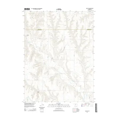
2014 Map of Quick SE
USGS Topo · Published 2014About this map
Red Willow Cr snakes through the dissected plains of southwestern Nebraska, defining a landscape where water management and agriculture are central to local life. The mapping reveals a complex network of irrigation, including the Red Willow Canal and the Culbertson Extension Canal, which reflect the region's long-standing reliance on diverted water for farming. A small but significant link to the past is found at Box Elder Cem, located on Drive 387, serving as a genealogical anchor for local families in this corner of the state. The terrain is marked by significant drainage features such as Bee Canyon and River Canyon, while the presence of the Larington Reservoir and Red Willow Dairy Trl highlights the intersection of modern resource management and rural production. Section lines and secondary roads like Road 725 impose a geometric order on the natural topography of the high plains.
Find a feature on this map
16 named features on this map. Tap any name to fly to it.
Don’t see what you’re looking for? This feature index may not catch every label — zoom into the map to look around manually.
Map Details
Editions of this 2014 Quick SE Map
This is the sole edition of this map. No revisions or reprints were ever made.
Other maps of this area

1954 · McCook
USGS Topo · 1:250,000

1956 · Quick NE
USGS Topo · 1:24,000

1956 · Bartley NW
USGS Topo · 1:24,000

1957 · McCook
USGS Topo · 1:250,000

1958 · McCook
USGS Topo · 1:250,000
1958 · Indianola
USGS Topo · 1:24,000

1970 · Red Willow Dam
USGS Topo · 1:24,000

1970 · Quick
USGS Topo · 1:24,000

1970 · McCook West
USGS Topo · 1:24,000

1970 · Quick SE
USGS Topo · 1:24,000