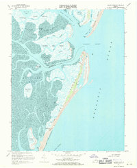
1968 Map of Quinby Inlet
USGS Topo · Published 1971About this map
Broadwater stands as a focal point on this barrier island survey, situated along the eastern edge of the Virginia shore where the Atlantic Ocean meets a complex network of marshes and tidal flats. The landscape is defined by its shifting aquatic boundaries, spanning from Revel Island in the north down to Hog Island and Rogue Island in the south. These islands are separated from the mainland by a labyrinth of waterways including Hog Island Bay, Tar Bay, and The Straits.
Find a feature on this map
45 named features on this map. Tap any name to fly to it.
Don’t see what you’re looking for? This feature index may not catch every label — zoom into the map to look around manually.
Map Details
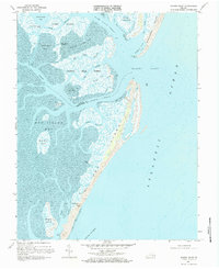
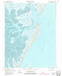
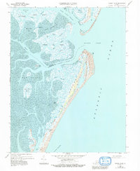
Editions of this 1968 Quinby Inlet Map
4 editions found
Other maps of this area

1931 · Accomac
USGS Topo · 1:48,000

1935 · Accomac
USGS Topo · 1:62,500

1941 · Broadwater
USGS Topo · 1:62,500

1942 · Cobb Island
USGS Topo · 1:24,000

1942 · Great Machipongo Inlet
USGS Topo · 1:24,000

1942 · Little Machipongo Inlet
USGS Topo · 1:24,000

1942 · Nassawadox
USGS Topo · 1:24,000

1943 · Nassawadox
USGS Topo · 1:31,680

1943 · Exmore
USGS Topo · 1:24,000

1944 · Exmore
USGS Topo · 1:31,680