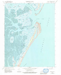
1968 Map of Quinby Inlet
USGS Topo · Published 1992About this map
Hog Island and its surrounding barrier island complex define this coastal landscape on the Virginia Eastern Shore. The settlement of Broadwater sits near the southern end of the island, accompanied by a Cem and a Lookout Tower overlooking the treacherous waters of the Atlantic Ocean. The terrain is a intricate network of tidal flats and salt marshes, such as Chimney Pole Marsh and High Shoal Marsh, separated by an extensive system of thoroughfares including Quinby Inlet and North Inlet.
Find a feature on this map
44 named features on this map. Tap any name to fly to it.
Don’t see what you’re looking for? This feature index may not catch every label — zoom into the map to look around manually.
Map Details
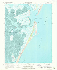
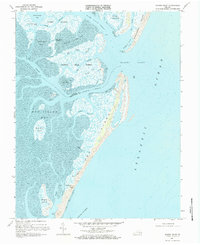
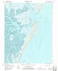
Editions of this 1968 Quinby Inlet Map
4 editions found
Other maps of this area

1931 · Accomac
USGS Topo · 1:48,000

1935 · Accomac
USGS Topo · 1:62,500

1941 · Broadwater
USGS Topo · 1:62,500

1942 · Cobb Island
USGS Topo · 1:24,000

1942 · Great Machipongo Inlet
USGS Topo · 1:24,000

1942 · Little Machipongo Inlet
USGS Topo · 1:24,000

1942 · Nassawadox
USGS Topo · 1:24,000

1943 · Nassawadox
USGS Topo · 1:31,680

1943 · Exmore
USGS Topo · 1:24,000

1944 · Exmore
USGS Topo · 1:31,680