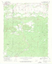
1969 Map of Quinton South
USGS Topo · Published 1971About this map
Robbers Cave State Park dominates the southern reaches of this survey, where the Rough Canyon and Maline Flats transition into the heights of the San Bois Mountains. The landscape is a study in extraction and natural geography, as numerous gas wells and a strip mine are interspersed among landmarks like Tucker Knob and Shoe Mountain. Transportation history is clearly etched into the terrain by an old railroad grade that skirts the northern boundary near Quinton.
Find a feature on this map
33 named features on this map. Tap any name to fly to it.
Don’t see what you’re looking for? This feature index may not catch every label — zoom into the map to look around manually.
Map Details
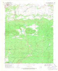
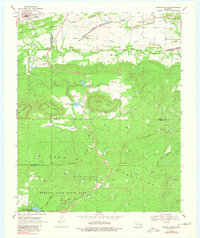
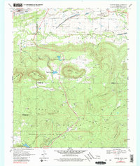
Editions of this 1969 Quinton South Map
4 editions found
Other maps of this area

1900 · Sansbois
USGS Topo · 1:125,000

1901 · Tuskahoma
USGS Topo · 1:125,000

1908 · Tuskahoma
USGS Topo · 1:125,000

1909 · Tuskahoma
USGS Topo · 1:125,000

1909 · Sans Bois
USGS Topo · 1:125,000

1911 · Sansbois
USGS Topo · 1:125,000

1940 · Red Oak
USGS Topo · 1:62,500

1943 · Red Oak
USGS Topo · 1:62,500

1946 · Fort Smith
USGS Topo · 1:250,000

1950 · Mcalester
USGS Topo · 1:250,000