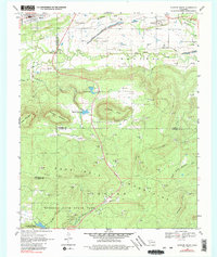
1969 Map of Quinton South
USGS Topo · Published 1980About this map
Robbers Cave State Park dominates the southern reaches of this landscape, encompassing the namesake Robbers Cave and the waters of Lake Wayne Wallace. This 1969 field-checked survey reveals an area defined by the heavy ridgelines of the San Bois Mountains and Iron Post Mountain, which dictated the early settlement and transport patterns of the region. In the north, the town of Quinton sits near the Railroad, serving as a focal point for the local economy alongside the small community of Lewisville. The geography illustrates a clear transition from the industrial activity of the northern Strip Mine and gravel pits to the protected wilderness of the park. Water management is evident through features like Quinton City Lake and Coblentz Lake, while family and local history is preserved at the Lewisville Cem.
Find a feature on this map
34 named features on this map. Tap any name to fly to it.
Don’t see what you’re looking for? This feature index may not catch every label — zoom into the map to look around manually.
Map Details
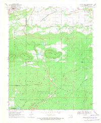
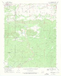
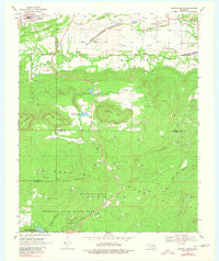
Editions of this 1969 Quinton South Map
4 editions found
Other maps of this area

1900 · Sansbois
USGS Topo · 1:125,000

1901 · Tuskahoma
USGS Topo · 1:125,000

1908 · Tuskahoma
USGS Topo · 1:125,000

1909 · Tuskahoma
USGS Topo · 1:125,000

1909 · Sans Bois
USGS Topo · 1:125,000

1911 · Sansbois
USGS Topo · 1:125,000

1940 · Red Oak
USGS Topo · 1:62,500

1943 · Red Oak
USGS Topo · 1:62,500

1946 · Fort Smith
USGS Topo · 1:250,000

1950 · Mcalester
USGS Topo · 1:250,000