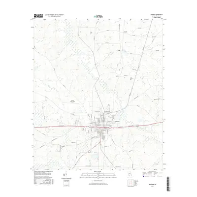
2017 Map of Quitman
USGS Topo · Published 2017About this map
The city of Quitman serves as the focal point of this Brooks County landscape, where the street grid of the town center meets the winding tributaries of Okapilco Cr. To the north and west, the terrain transitions into a more rural pattern of dispersed settlements such as Spain, Fodie, and Shiver. The map reveals a high concentration of burial grounds important for genealogical research, including Oak Hill Cem, North End Cem, and Rogers Cem. Transportation infrastructure is a defining characteristic, featuring the Quitman Brooks County Airport and a network of historic thoroughfares like the Old Stage Coach Rd. The geography is defined by a series of creeks and branches, such as Coon Cr and Piscola Cr, which drain the low-lying agricultural lands surrounding the primary population center.
Find a feature on this map
92 named features on this map. Tap any name to fly to it.
Don’t see what you’re looking for? This feature index may not catch every label — zoom into the map to look around manually.
Map Details
Editions of this 2017 Quitman Map
This is the sole edition of this map. No revisions or reprints were ever made.
Other maps of this area

1954 · Valdosta
USGS Topo · 1:250,000

1956 · Grooverville
USGS Topo · 1:24,000

1956 · Nankin
USGS Topo · 1:24,000

1956 · Baden
USGS Topo · 1:24,000

1958 · Valdosta
USGS Topo · 1:250,000

1959 · Valdosta
USGS Topo · 1:250,000

1961 · Quitman
USGS Topo · 1:62,500

1961 · Hahira West
USGS Topo · 1:24,000

1961 · Ousley
USGS Topo · 1:24,000
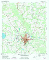
1974 · Quitman
USGS Topo · 1:24,000