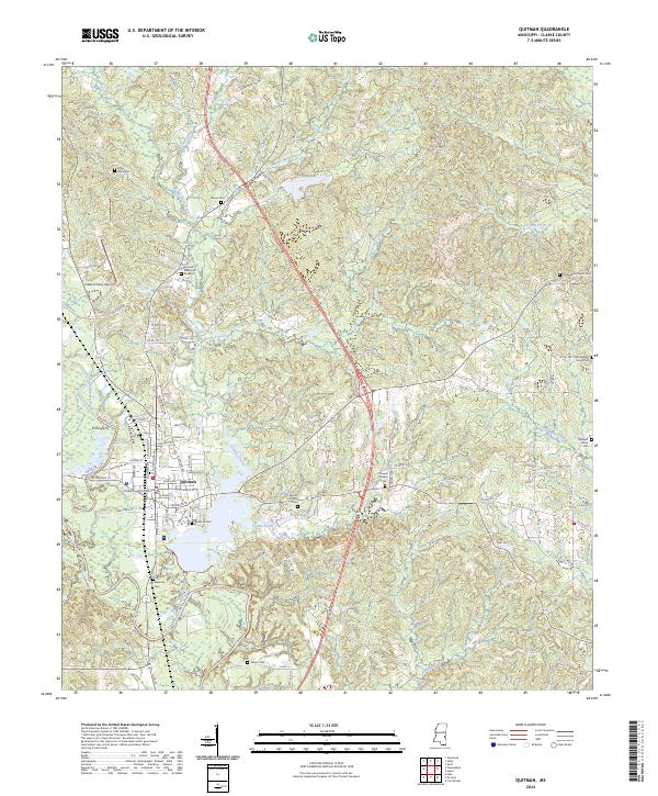
2024 Map of Quitman
USGS Topo · Published 2024About this map
Quitman serves as the focal point of this Clarke County landscape, where the Chickasawhay River and its numerous tributaries like Archusa Creek and Cedar Creek define the local topography. The town's historic footprint is anchored by the Clarke County Courthouse and a network of residential streets such as Westwood Ave and Long Blvd. This contemporary survey highlights a significant concentration of burial sites, reflecting generations of local family history through locations like the Confederate Cem, Mount Pisgah Cem, and the sprawling Archusa Memorial Gardens.
Find a feature on this map
47 named features on this map. Tap any name to fly to it.
Don’t see what you’re looking for? This feature index may not catch every label — zoom into the map to look around manually.
Map Details
Editions of this 2024 Quitman Map
This is the sole edition of this map. No revisions or reprints were ever made.
Other maps of this area

1953 · Hattiesburg
USGS Topo · 1:250,000

1953 · Meridian
USGS Topo · 1:250,000

1957 · Meridian
USGS Topo · 1:250,000

1957 · Quitman
USGS Topo · 1:62,500

1957 · Enterprise
USGS Topo · 1:62,500

1958 · Hattiesburg
USGS Topo · 1:250,000

1964 · Carmichael
USGS Topo · 1:24,000

1964 · Hale
USGS Topo · 1:24,000

1964 · De Soto
USGS Topo · 1:24,000

1965 · Meridian
USGS Topo · 1:250,000