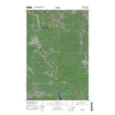
2016 Map of Rabey
USGS Topo · Published 2016About this map
Willow River and its surrounding wetlands define this Aitkin County landscape, showing the complex hydrology of northern Minnesota in the early 21st century. The map illustrates a managed wilderness where the naturally winding Willow River and Pokegama Cr are contrasted by the engineered channel of the Hill River Ditch. This drainage feature points to the historical efforts to modify the boggy terrain for timber or agricultural use.
Find a feature on this map
14 named features on this map. Tap any name to fly to it.
Don’t see what you’re looking for? This feature index may not catch every label — zoom into the map to look around manually.
Map Details
Editions of this 2016 Rabey Map
This is the sole edition of this map. No revisions or reprints were ever made.
Other maps of this area

1953 · Duluth
USGS Topo · 1:250,000

1954 · Hibbing
USGS Topo · 1:250,000

1957 · Hibbing
USGS Topo · 1:250,000

1958 · Hibbing
USGS Topo · 1:250,000

1958 · Duluth
USGS Topo · 1:250,000

1964 · Hibbing
USGS Topo · 1:250,000

1970 · Split Hand Lake
USGS Topo · 1:24,000

1970 · Rabey
USGS Topo · 1:24,000
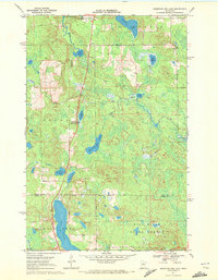
1970 · Mountain Ash Lake
USGS Topo · 1:24,000

1970 · Sanders Lake
USGS Topo · 1:24,000