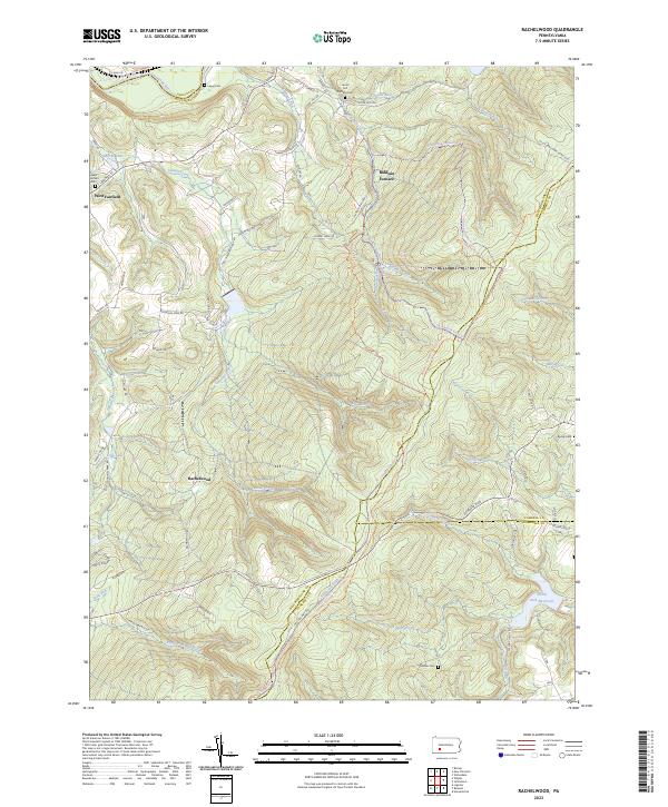
2023 Map of Rachelwood
USGS Topo · Published 2023About this map
Baldwin Furnace and the surrounding high ground of Rock Ridge anchor this modern topographical study of the Laurel Highlands. The landscape is defined by its deep stream valleys, where Tubmill Creek and Shannon Run cut through steep terrain, historically supporting early iron industry sites like those near Laurel Hill Furnace Cem. Small family and church burial grounds including Mishler Cem and Roddy Cem remain preserved among the rising elevations of the southeastern corner, while the North Fork Reservoir serves as a prominent water feature near the Cambria and Somerset County lines. Modern recreation is reflected in the extensive trail networks, from the Kiski-Conemaugh River Water Trl in the north to the Potomac Heritage National Scenic Trl that traverses the southern ridges, illustrating how former industrial corridors have transitioned into protected natural spaces.
Find a feature on this map
69 named features on this map. Tap any name to fly to it.
Don’t see what you’re looking for? This feature index may not catch every label — zoom into the map to look around manually.
Map Details
Editions of this 2023 Rachelwood Map
This is the sole edition of this map. No revisions or reprints were ever made.
Other maps of this area

1904 · Johnstown
USGS Topo · 1:62,500

1907 · Johnstown
USGS Topo · 1:62,500

1913 · Somerset
USGS Topo · 1:62,500

1914 · Windber
USGS Topo · 1:62,500

1915 · Somerset
USGS Topo · 1:62,500

1916 · Windber
USGS Topo · 1:62,500

1920 · New Florence
USGS Topo · 1:62,500

1921 · New Florence
USGS Topo · 1:48,000

1922 · New Florence
USGS Topo · 1:62,500

1944 · Somerset
USGS Topo · 1:62,500
Featured Places
- Conemaugh Township, PA
- Fairfield Township, PA
- Jenner Township, PA
- Upper Yoder Township, PA
- Lower Yoder Township, PA