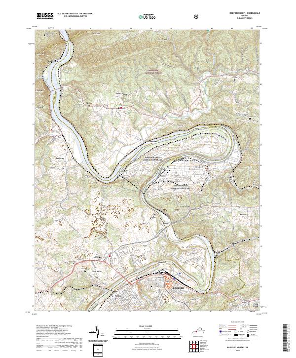
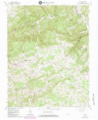
2022 Map of Radford North
USGS Topo · Published 2022About this map
The New River carves a dramatic oxbow through the heart of this Montgomery and Pulaski County landscape, anchoring the massive Radford Army Ammunition Plant and the growing city of Radford. To the north, the terrain rises sharply into the ridges of Gap Mtn, Brush Mtn, and Walker Mtn, much of which is protected within the Jefferson National Forest. This section of the Appalachian Highlands is characterized by deep hollows like Whittaker Hollow and Fork Lick Hollow that feed into the river system.
Find a feature on this map
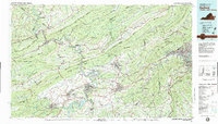
63 named features on this map. Tap any name to fly to it.
Don’t see what you’re looking for? This feature index may not catch every label — zoom into the map to look around manually.
Map Details
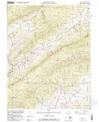
Editions of this 2022 Radford North Map
This is the sole edition of this map. No revisions or reprints were ever made.
Historical Maps of Dry Branch Through Time
13 maps found
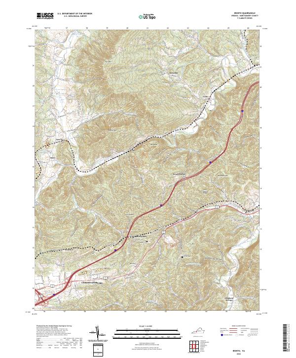
1965 Ironto
Montgomery County, VA
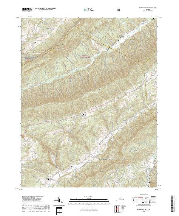
1965 Mc Donalds Mill
Montgomery County, VA
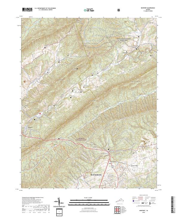
1965 Newport
Montgomery County, VA
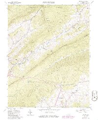
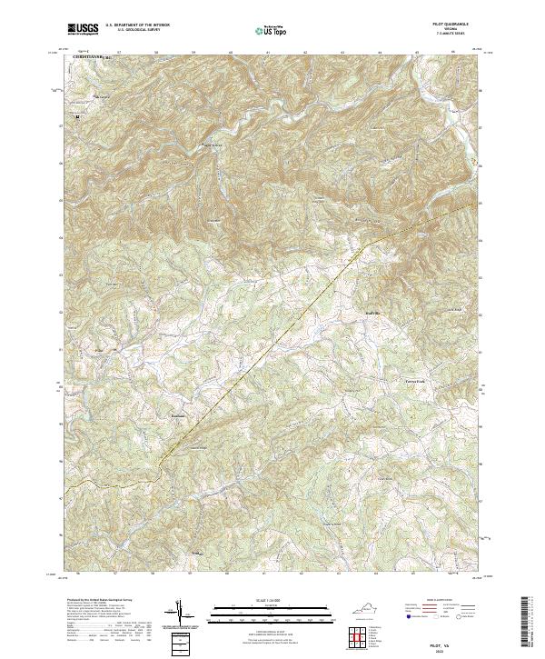
1965 Pilot
Montgomery County, VA

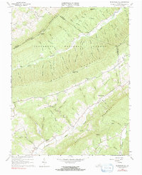
1965 Radford North
Montgomery County, VA
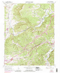
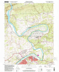
1982 Radford
Montgomery County, VA
1998 Newport
Montgomery County, VA
1998 Radford North
Montgomery County, VA
2022 Ironto
Montgomery County, VA
2022 McDonalds Mill
Montgomery County, VA
2022 Newport
Montgomery County, VA
2022 Pilot
Montgomery County, VA
2022 Radford North
Montgomery County, VA