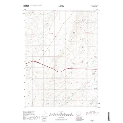
2017 Map of Ragan
USGS Topo · Published 2017About this map
Spring Valley Cem rests in the southern portion of this high-desert landscape, serving as a quiet witness to the local history of Uinta County. The settlement of Ragan sits along the drainage of Antelope Cr, where the corridor formed by Co RD 180 follows the natural contours of the terrain. The topography is defined by significant ridges and gaps, most notably The Hogsback and Spring Gap, which shaped the movement of early travel and ranching in this part of Wyoming.
Find a feature on this map
33 named features on this map. Tap any name to fly to it.
Don’t see what you’re looking for? This feature index may not catch every label — zoom into the map to look around manually.
Map Details
Editions of this 2017 Ragan Map
This is the sole edition of this map. No revisions or reprints were ever made.
Other maps of this area

1954 · Ogden
USGS Topo · 1:250,000

1958 · Ogden
USGS Topo · 1:250,000

1960 · Ogden
USGS Topo · 1:250,000

1965 · Bridger
USGS Topo · 1:24,000

1965 · Ragan
USGS Topo · 1:24,000

1965 · Leroy
USGS Topo · 1:24,000

1965 · Little Dee Creek
USGS Topo · 1:24,000

1965 · Meadow Draw
USGS Topo · 1:24,000

1965 · Sulphur Creek Reservoir
USGS Topo · 1:24,000
1965 · Hague Creek
USGS Topo · 1:24,000