Loading...
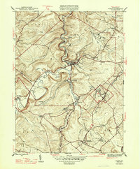
Loading map...1945 Map of Ramey
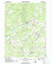
USGS Topo · Published 1990About this map
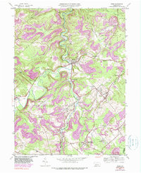
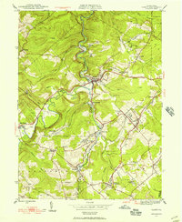
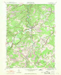
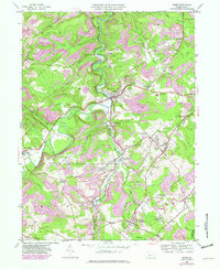
Clearfield Creek winds through this central Pennsylvania landscape, serving as the primary drainage for a region defined by its industrial and coal-mining history. This 1945 map reveals the tight integration of rail and settlement, as the Conrail line follows the narrow valleys to serve mining hubs like Madera and Smoke Run. The geography of the era is marked by numerous small, named communities including Hegarty Crossroads, Ginter, and New London, many of which were built around active extraction sites that are now labeled abandoned.
Find a feature on this map
51 named features on this map. Tap any name to fly to it.
Don’t see what you’re looking for? This feature index may not catch every label — zoom into the map to look around manually.
Map Details
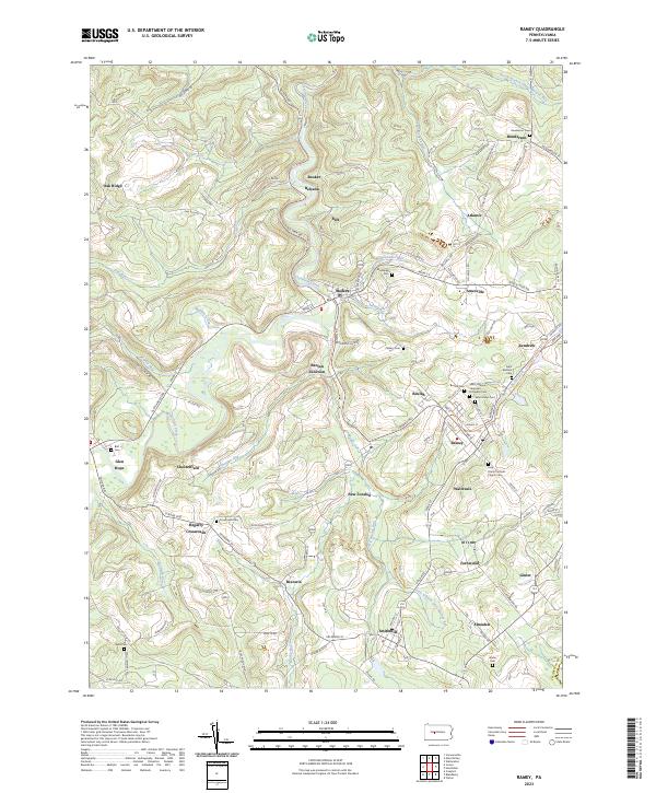
Date Portrayed1945
Date Published1990
PublisherU.S. Geological Survey
Map TypeTopographic
Scale1:24,000
Physical Dimensions22 x 27 inches
Editions of this 1945 Ramey Map
4 editions found
Historical Maps of Beccaria Township Through Time
4 maps found
Featured Locations
Source Details
SourceU.S. Geological Survey
CopyrightPublic Domain