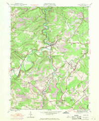
1945 Map of Ramey
USGS Topo · Published 1970About this map
Clearfield Creek winds through the heart of this central Pennsylvania landscape, carving a deep valley that anchors the region's transport and settlement patterns. The Penn Central railroad follows the waterway's serpentine curves, connecting industrial hubs like Madera and Smoke Run. This 1945 survey, photorevised in 1969, illustrates a dense network of small coal-era settlements and rural hamlets, including Glen Hope, Beccaria, and Ramey.
Find a feature on this map
52 named features on this map. Tap any name to fly to it.
Don’t see what you’re looking for? This feature index may not catch every label — zoom into the map to look around manually.
Map Details
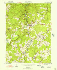
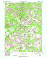
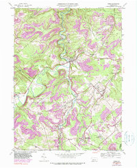
Editions of this 1945 Ramey Map
4 editions found
Other maps of this area

1902 · Patton
USGS Topo · 1:62,500

1903 · Curwensville
USGS Topo · 1:62,500

1903 · Houtzdale
USGS Topo · 1:62,500

1904 · Patton
USGS Topo · 1:62,500

1905 · Houtzdale
USGS Topo · 1:62,500

1920 · Altoona
USGS Topo · 1:62,500

1922 · Altoona
USGS Topo · 1:62,500

1939 · Curwensville
USGS Topo · 1:62,500

1942 · Curwensville
USGS Topo · 1:62,500

1943 · Punxsutawney
USGS Topo · 1:125,000