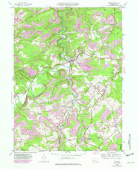
1945 Map of Ramey
USGS Topo · Published 1982About this map
Clearfield Creek winds through a landscape defined by its industrial and social hubs in the mid-20th century. This area shows a dense network of mining-era settlements and rural community centers, from the larger town of Ramey to the intersection at Hegarty Crossroads. The terrain is characterized by numerous small waterways like Banian Run and Muddy Run, which once supported local development. Educational and religious landmarks, such as the Manor Hill Sch and Bethel Ch, are preserved alongside industrial vestiges like an Old RR Grade. Notable for genealogists is the presence of Janesville Smithmill P O, reflecting the specialized postal geography of the time. The 1981 revisions highlight the ongoing transformation of the land, including a Strip Mine and the evolution of transportation routes like the Conrail line.
Find a feature on this map
54 named features on this map. Tap any name to fly to it.
Don’t see what you’re looking for? This feature index may not catch every label — zoom into the map to look around manually.
Map Details
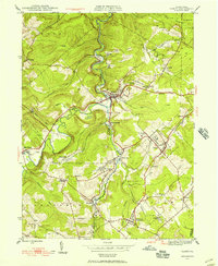
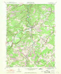
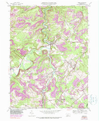
Editions of this 1945 Ramey Map
4 editions found
Other maps of this area

1902 · Patton
USGS Topo · 1:62,500

1903 · Curwensville
USGS Topo · 1:62,500

1903 · Houtzdale
USGS Topo · 1:62,500

1904 · Patton
USGS Topo · 1:62,500

1905 · Houtzdale
USGS Topo · 1:62,500

1920 · Altoona
USGS Topo · 1:62,500

1922 · Altoona
USGS Topo · 1:62,500

1939 · Curwensville
USGS Topo · 1:62,500

1942 · Curwensville
USGS Topo · 1:62,500

1943 · Punxsutawney
USGS Topo · 1:125,000