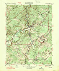
1947 Map of Ramey
USGS Topo · Published 1947About this map
Clearfield County's upland coal and timber country unfolds along the winding banks of Clearfield Creek and its many tributaries, such as Muddy Run. The mid-1940s landscape is defined by a dense network of small mining and railroad settlements, with Madera and Ramey serving as primary hubs. The Pennsylvania railroad lines thread through the valleys, connecting remote patches like Smoke Run, Beccaria, and Belsena to the broader regional economy. Evidence of rural community life is scattered throughout the township boundaries of Beccaria and Gullich, visible in landmarks like Bethel Ch, the Maplepole Sch, and Hegarty Crossroads. The presence of the Janesville Smithmill P O and numerous family-named junctions suggests a time when local commerce was deeply tied to these specific rail stops and post offices.
Find a feature on this map
49 named features on this map. Tap any name to fly to it.
Don’t see what you’re looking for? This feature index may not catch every label — zoom into the map to look around manually.
Map Details
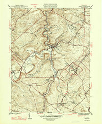
Editions of this 1947 Ramey Map
2 editions found
Other maps of this area

1902 · Patton
USGS Topo · 1:62,500

1903 · Curwensville
USGS Topo · 1:62,500

1903 · Houtzdale
USGS Topo · 1:62,500

1904 · Patton
USGS Topo · 1:62,500

1905 · Houtzdale
USGS Topo · 1:62,500

1920 · Altoona
USGS Topo · 1:62,500

1922 · Altoona
USGS Topo · 1:62,500

1939 · Curwensville
USGS Topo · 1:62,500

1942 · Curwensville
USGS Topo · 1:62,500

1943 · Punxsutawney
USGS Topo · 1:125,000