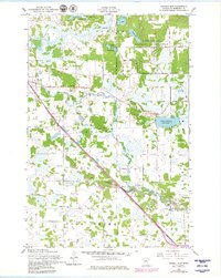
1956 Map of Randall East
USGS Topo · Published 1980About this map
The Northern Pacific railroad corridor serves as the primary spine for this mid-century landscape in Morrison County, connecting the town of Randall to rural outposts like Darling Switch. The region is defined by a dense network of water bodies and marshlands, including Green Prairie Fish Lake, Ferrell Lake, and the winding course of the Little Elk River. A significant portion of the northeastern quadrant is occupied by the Camp Ripley Military Reservation, with its internal road system including Argonne Road and Champange Road.
Find a feature on this map
40 named features on this map. Tap any name to fly to it.
Don’t see what you’re looking for? This feature index may not catch every label — zoom into the map to look around manually.
Map Details
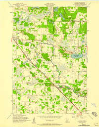
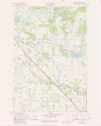
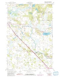
Editions of this 1956 Randall East Map
4 editions found
Other maps of this area

1947 · Flensburg
USGS Topo · 1:25,000

1948 · Belle Prairie
USGS Topo · 1:62,500

1948 · Cushing
USGS Topo · 1:62,500

1948 · Little Falls
USGS Topo · 1:62,500

1950 · Swanville
USGS Topo · 1:62,500

1950 · Belle Prairie
USGS Topo · 1:62,500

1950 · Little Falls
USGS Topo · 1:62,500

1950 · Cushing
USGS Topo · 1:62,500

1951 · Flensburg
USGS Topo · 1:25,000

1953 · Brainerd
USGS Topo · 1:250,000