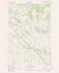
1956 Map of Randall East
USGS Topo · Published 1980About this map
Little Elk River meanders through this portion of Morrison County, where the village of Randall serves as a primary hub for the surrounding rural townships. The landscape is a mix of agricultural plots and wetlands, featuring numerous named water bodies such as Green Prairie Fish Lake, Three Finger Lake, and Johnson Lake. A significant portion of the northeastern quadrant is occupied by the Camp Ripley Military Reservation, bordered by roads with historic names like Gettysburg Road and Argonne Road. The transit corridor is defined by the Northern Pacific railroad, which parallels the river and connects the village to the Darling Switch. This survey, revised with late-1970s data, documents a specialized network of rural infrastructure, including a series of numbered schoolhouses like School No 57 and School No 35, alongside the Old Darling Mission Cemetery and Immanuel Church.
Find a feature on this map
39 named features on this map. Tap any name to fly to it.
Don’t see what you’re looking for? This feature index may not catch every label — zoom into the map to look around manually.
Map Details
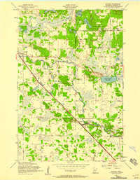
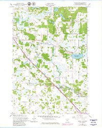
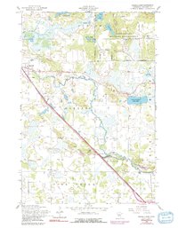
Editions of this 1956 Randall East Map
4 editions found
Other maps of this area

1947 · Flensburg
USGS Topo · 1:25,000

1948 · Belle Prairie
USGS Topo · 1:62,500

1948 · Cushing
USGS Topo · 1:62,500

1948 · Little Falls
USGS Topo · 1:62,500

1950 · Swanville
USGS Topo · 1:62,500

1950 · Belle Prairie
USGS Topo · 1:62,500

1950 · Little Falls
USGS Topo · 1:62,500

1950 · Cushing
USGS Topo · 1:62,500

1951 · Flensburg
USGS Topo · 1:25,000

1953 · Brainerd
USGS Topo · 1:250,000