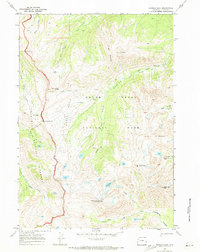
1968 Map of Ranger Peak
USGS Topo · Published 1973About this map
Grand Teton National Park and the adjacent Targhee National Forest meet in this high-altitude wilderness, defined by the sharp divide of the Teton Range. The landscape is a network of deep glacial canyons and formidable summits, including the prominent Ranger Peak and Rolling Thunder Mountain. A lone Patrol Cabin situated near Moose Basin represents the sparse human infrastructure in this remote backcountry during the late 1960s.
Find a feature on this map
36 named features on this map. Tap any name to fly to it.
Don’t see what you’re looking for? This feature index may not catch every label — zoom into the map to look around manually.
Map Details
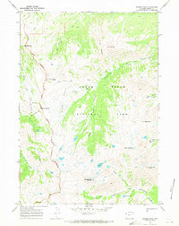
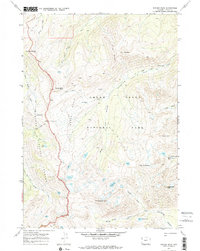
Editions of this 1968 Ranger Peak Map
3 editions found
Other maps of this area

1886 · Shoshone
USGS Topo · 1:125,000

1888 · Shoshone
USGS Topo · 1:125,000

1895 · Shoshone
USGS Topo · 1:125,000

1899 · Grand Teton
USGS Topo · 1:125,000

1901 · Shoshone
USGS Topo · 1:125,000

1901 · Grand Teton
USGS Topo · 1:125,000

1908 · Shoshone
USGS Topo · 1:125,000

1911 · Shoshone
USGS Topo · 1:125,000

1955 · Ashton
USGS Topo · 1:250,000

1955 · Driggs
USGS Topo · 1:250,000