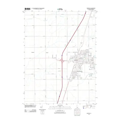
2012 Map of Rantoul
USGS Topo · Published 2012About this map
Rantoul serves as the focal point of this 2012 survey, reflecting a landscape defined by the convergence of major transit corridors and aviation infrastructure in Champaign County. The Rantoul National Aviation Center Airport-Frank Elliott Field occupies a significant portion of the town's southern footprint, anchoring the local geography alongside residential expansions like those found along E Sangamon Ave and Veterans Pkwy. Beyond the urban core, the map reveals a meticulously organized grid of agricultural land and rural clusters.
Find a feature on this map
64 named features on this map. Tap any name to fly to it.
Don’t see what you’re looking for? This feature index may not catch every label — zoom into the map to look around manually.
Map Details
Editions of this 2012 Rantoul Map
This is the sole edition of this map. No revisions or reprints were ever made.
Other maps of this area

1906 · Urbana
USGS Topo · 1:62,500

1907 · Mahomet
USGS Topo · 1:62,500

1924 · Paxton
USGS Topo · 1:62,500

1927 · Paxton
USGS Topo · 1:62,500

1928 · Gibson City
USGS Topo · 1:62,500

1949 · Paxton
USGS Topo · 1:62,500

1957 · Urbana
USGS Topo · 1:62,500

1957 · Paxton
USGS Topo · 1:62,500

1957 · Gibson City
USGS Topo · 1:62,500

1957 · Rising
USGS Topo · 1:24,000