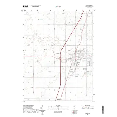
2021 Map of Rantoul
USGS Topo · Published 2021About this map
Rantoul National Aviation Center Airport- Frank Elliott Field dominates the southern landscape of this central Illinois quadrangle, reflecting the region's long-standing connection to aviation. The surrounding agricultural prairie is defined by a rigid grid of township roads and drainage systems such as Big Ditch and Wildcat Slough, which were essential for transforming the wetlands into productive farmland.
Find a feature on this map
89 named features on this map. Tap any name to fly to it.
Don’t see what you’re looking for? This feature index may not catch every label — zoom into the map to look around manually.
Map Details
Editions of this 2021 Rantoul Map
This is the sole edition of this map. No revisions or reprints were ever made.
Other maps of this area

1906 · Urbana
USGS Topo · 1:62,500

1907 · Mahomet
USGS Topo · 1:62,500

1924 · Paxton
USGS Topo · 1:62,500

1927 · Paxton
USGS Topo · 1:62,500

1928 · Gibson City
USGS Topo · 1:62,500

1949 · Paxton
USGS Topo · 1:62,500

1957 · Urbana
USGS Topo · 1:62,500

1957 · Paxton
USGS Topo · 1:62,500

1957 · Gibson City
USGS Topo · 1:62,500

1957 · Rising
USGS Topo · 1:24,000