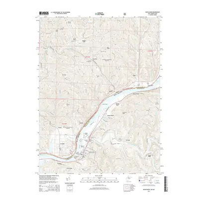
2014 Map of Raven Rock
USGS Topo · Published 2014About this map
St. Marys sits along the Ohio River at the junction with Middle Island Creek, serving as a focal point for the region's riverine activity. This 2014 survey captures a landscape where the river remains the primary geographic anchor, bridged by the Hi Carpenter Memorial Bridge and its predecessor, the Old Hi Carpenter Bridge. The topography is defined by the high ridges of Eddy Ridge and Bell Ridge, which separate the myriad hollows and runs feeding into the larger water system.
Find a feature on this map
119 named features on this map. Tap any name to fly to it.
Don’t see what you’re looking for? This feature index may not catch every label — zoom into the map to look around manually.
Map Details
Editions of this 2014 Raven Rock Map
This is the sole edition of this map. No revisions or reprints were ever made.
Other maps of this area

1903 · Macksburg
USGS Topo · 1:62,500

1904 · Marietta
USGS Topo · 1:62,500

1905 · New Matamoras
USGS Topo · 1:62,500

1905 · Macksburg
USGS Topo · 1:62,500

1906 · Saint Marys
USGS Topo · 1:62,500

1924 · St Marys
USGS Topo · 1:62,500

1924 · New Matamoras
USGS Topo · 1:62,500

1924 · Marietta
USGS Topo · 1:62,500

1926 · New Matamoras
USGS Topo · 1:62,500

1927 · Marietta
USGS Topo · 1:62,500