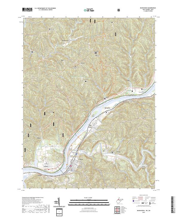
2023 Map of Raven Rock
USGS Topo · Published 2023About this map
The Ohio River dictates the landscape of this region, serving as the border between Washington Co, Ohio and Pleasants Co, West Virginia. The river is punctuated by significant landforms such as Grape Island and Middle Island, protected within the Ohio River Islands National Wildlife Refuge. On the West Virginia shore, St. Marys stands as a central hub, featuring the Pleasants County Courthouse and an extensive Independent Order of Odd Fellows Cem. The topography transitions from the industrial activity of the Oil Refinery to the wooded reaches of the Wayne National Forest.
Find a feature on this map
121 named features on this map. Tap any name to fly to it.
Don’t see what you’re looking for? This feature index may not catch every label — zoom into the map to look around manually.
Map Details
Editions of this 2023 Raven Rock Map
This is the sole edition of this map. No revisions or reprints were ever made.
Other maps of this area

1903 · Macksburg
USGS Topo · 1:62,500

1904 · Marietta
USGS Topo · 1:62,500

1905 · New Matamoras
USGS Topo · 1:62,500

1905 · Macksburg
USGS Topo · 1:62,500

1906 · Saint Marys
USGS Topo · 1:62,500

1924 · St Marys
USGS Topo · 1:62,500

1924 · New Matamoras
USGS Topo · 1:62,500

1924 · Marietta
USGS Topo · 1:62,500

1926 · New Matamoras
USGS Topo · 1:62,500

1927 · Marietta
USGS Topo · 1:62,500