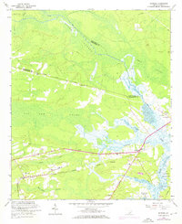
1960 Map of Ravenel
USGS Topo · Published 1972About this map
The Seaboard Coast Line railroad and the historic Parkers Ferry Road anchor this 1960s study of the South Carolina Lowcountry, documenting the transition from rural rail depots to a modernizing coastal landscape. Near the settlement of Ravenel, researchers can find the Ravenel Station and several family-oriented landmarks such as the Miley Hill Sch and Red Hill Sch. The area is defined by its complex hydrology, where the Rantowles Creek meets the Wallace River, and the Intracoastal Waterway cuts through the marshlands toward Johns Island. This environment supported a dense network of country churches, including Sauldam Ch and Bethel Ch, which served the small communities scattered between the Caw Caw Swamp and Bear Swamp. Revisions from 1971 show the emerging infrastructure of the era, while the original topography captures the traditional footprint of Charleston County plantations and hamlets.
Find a feature on this map
34 named features on this map. Tap any name to fly to it.
Don’t see what you’re looking for? This feature index may not catch every label — zoom into the map to look around manually.
Map Details
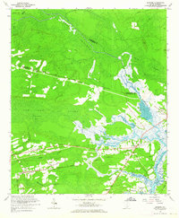
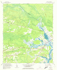
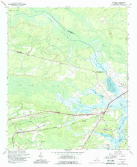
Editions of this 1960 Ravenel Map
4 editions found
Other maps of this area

1918 · Cottageville
USGS Topo · 1:62,500

1919 · Ladson
USGS Topo · 1:21,120

1919 · Johns Island
USGS Topo · 1:21,120

1919 · Edisto Island
USGS Topo · 1:62,500

1919 · Wadmelaw Island
USGS Topo · 1:62,500

1919 · Legareville
USGS Topo · 1:21,120

1920 · Ravenels
USGS Topo · 1:62,500

1943 · Cottageville
USGS Topo · 1:62,500

1943 · Legareville
USGS Topo · 1:24,000

1943 · Edisto Island
USGS Topo · 1:62,500