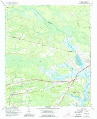
1960 Map of Ravenel
USGS Topo · Published 1989About this map
The Seaboard Coast Line railroad anchors this coastal Lowcountry landscape, connecting the settlement of Ravenel to the wider region. In the early 1960s, this area was characterized by its intricate drainage networks, including the Caw Caw Swamp and Horse Savanna, which separate the mainland from the Stono River and the Intracoastal Waterway. This map reveals a community structured around both the rail and historic thoroughfares like Parkers Ferry Road.
Find a feature on this map
37 named features on this map. Tap any name to fly to it.
Don’t see what you’re looking for? This feature index may not catch every label — zoom into the map to look around manually.
Map Details
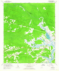
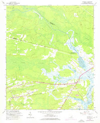
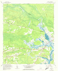
Editions of this 1960 Ravenel Map
4 editions found
Other maps of this area

1918 · Cottageville
USGS Topo · 1:62,500

1919 · Ladson
USGS Topo · 1:21,120

1919 · Johns Island
USGS Topo · 1:21,120

1919 · Edisto Island
USGS Topo · 1:62,500

1919 · Wadmelaw Island
USGS Topo · 1:62,500

1919 · Legareville
USGS Topo · 1:21,120

1920 · Ravenels
USGS Topo · 1:62,500

1943 · Cottageville
USGS Topo · 1:62,500

1943 · Legareville
USGS Topo · 1:24,000

1943 · Edisto Island
USGS Topo · 1:62,500