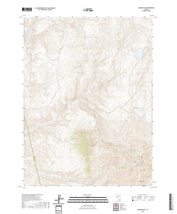
2021 Map of Ravens Nest
USGS Topo · Published 2021About this map
The Piñon Range dominates this corner of Nevada, where the high-altitude terrain of the Great Basin is defined by steep ridges and seasonal water sources. The namesake Ravens Nest and the prominent Bunker Hill rise above a landscape carved by Lee Canyon and Ferdford Cr. In this arid environment, the locations of reliable water are critical landmarks for both history and geography. Springs such as Slump Spring, Red Spring, Murdock Spring, and Mill Creek Spring dot the mountain slopes, serving as vital waypoints. The boundary between Eureka County and Elko County runs through the western edge of the map, following a meridian that separates these two historic mining and ranching regions. Other notable landforms include the massive Pine Mtn and the drainage of Cole Cr, reflecting the complex topography of the Humboldt River watershed area.
Find a feature on this map
21 named features on this map. Tap any name to fly to it.
Don’t see what you’re looking for? This feature index may not catch every label — zoom into the map to look around manually.
Map Details
Editions of this 2021 Ravens Nest Map
This is the sole edition of this map. No revisions or reprints were ever made.
Other maps of this area

1934 · Jiggs
USGS Topo · 1:125,000

1937 · Jiggs
USGS Topo · 1:125,000

1952 · Dixie Flats
USGS Topo · 1:62,500

1952 · Pine Valley
USGS Topo · 1:62,500

1952 · Carlin
USGS Topo · 1:62,500

1955 · Winnemucca
USGS Topo · 1:250,000

1955 · Elko
USGS Topo · 1:250,000

1956 · Robinson Mtn
USGS Topo · 1:62,500

1958 · Winnemucca
USGS Topo · 1:250,000

1958 · Elko
USGS Topo · 1:250,000