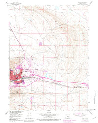
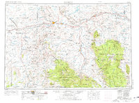
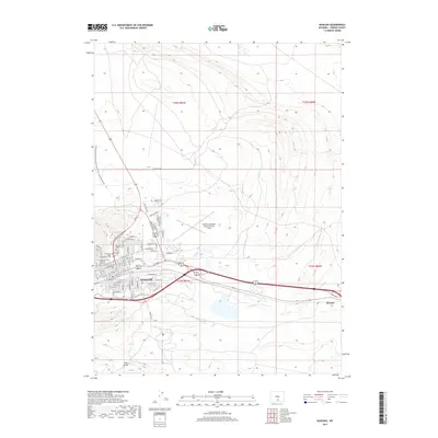
1953 Map of Rawlins
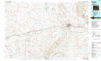
USGS Topo · Published 1981About this map
The State Penitentiary looms large on the western edge of Rawlins in this mid-century portrait of a vital high-plains transportation hub. The town's layout is defined by the heavy infrastructure of the Union Pacific railroad and the east-west corridor of U.S. Route 30, which connects the residential core to the Rawlins Municipal Airport and the outlying Belfour Ranch.
Find a feature on this map
27 named features on this map. Tap any name to fly to it.
Don’t see what you’re looking for? This feature index may not catch every label — zoom into the map to look around manually.
Map Details
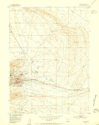
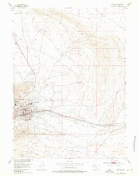
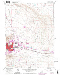
Editions of this 1953 Rawlins Map
4 editions found
Historical Maps of Rawlins Through Time
11 maps found
1953 Rawlins
Carbon County, WY
1954 Rawlins
Carbon County, WY

1958 Rawlins
Carbon County, WY

1962 Rawlins
Carbon County, WY

1967 Rawlins
Carbon County, WY
1984 Rawlins
Carbon County, WY

1988 Rawlins
Carbon County, WY
2012 Rawlins
Carbon County, WY
2015 Rawlins
Carbon County, WY
2017 Rawlins
Carbon County, WY
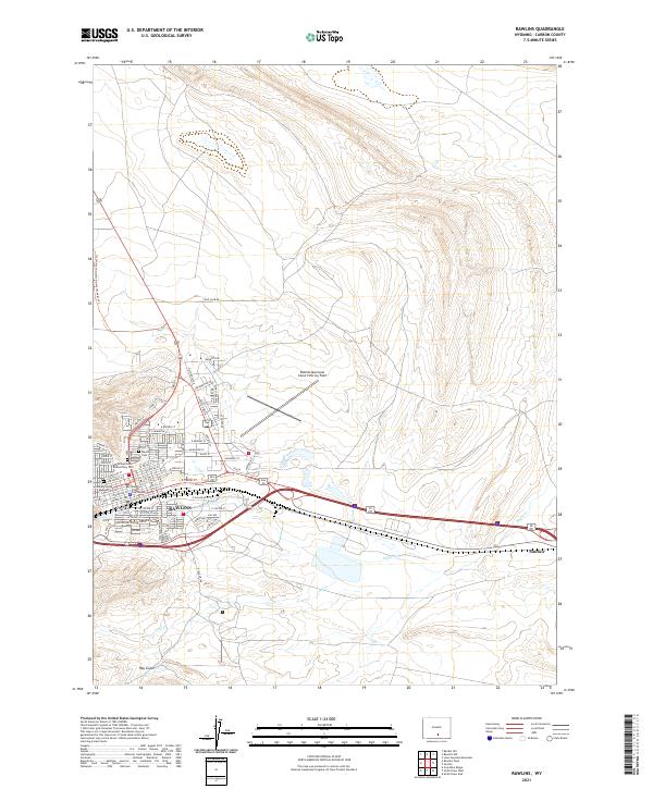
2021 Rawlins
Carbon County, WY