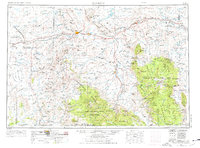
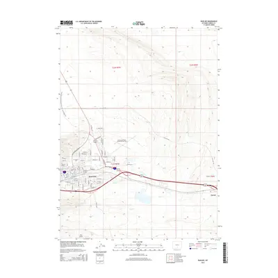
1954 Map of Rawlins
USGS Topo · Published 1976About this map
Rawlins serves as a central hub for this high-desert region, where the Union Pacific railroad cuts through the landscape alongside the historic route of the Overland Trail. The map details a working landscape defined by ranching and resource extraction, featuring numerous family operations like the Mahoney Ranch, Doley Ranch, and McCarty Ranch. Industrial activity is evident in the Grenville Dome and various clusters of oil wells and gas wells that dot the plains north of the Medicine Bow Mountains.
Find a feature on this map
135 named features on this map. Tap any name to fly to it.
Don’t see what you’re looking for? This feature index may not catch every label — zoom into the map to look around manually.
Map Details
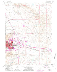
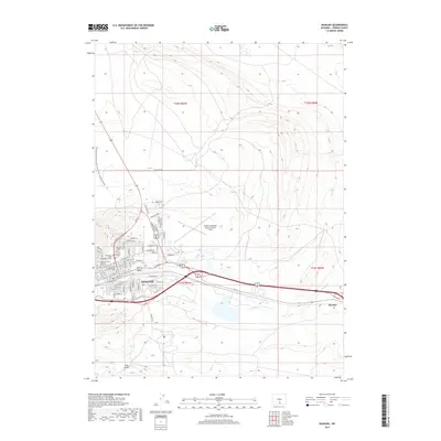
Editions of this 1954 Rawlins Map
2 editions found

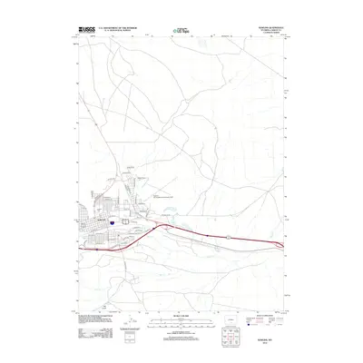
Historical Maps of Rawlins Through Time
11 maps found
1953 Rawlins
Carbon County, WY
1954 Rawlins
Carbon County, WY

1958 Rawlins
Carbon County, WY

1962 Rawlins
Carbon County, WY

1967 Rawlins
Carbon County, WY
1984 Rawlins
Carbon County, WY

1988 Rawlins
Carbon County, WY
2012 Rawlins
Carbon County, WY
2015 Rawlins
Carbon County, WY
2017 Rawlins
Carbon County, WY
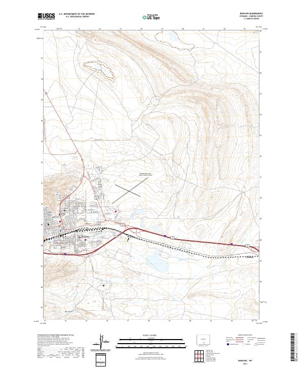
2021 Rawlins
Carbon County, WY