
1969 Map of Ray
USGS Topo · Published 1971About this map
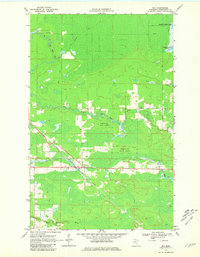
The small settlement of Ray serves as a focal point in this northern landscape, situated along the path of the Duluth Winnipeg and Pacific railroad. The surrounding terrain is heavily defined by the winding course of the Rat Root River and its East Branch, which cut through the dense acreage of the Kabetogama State Forest. Evidence of local community life and industry is visible in the presence of the Ray Cem and Lyman Cem, alongside a Gravel Pit near the riverbanks.
Find a feature on this map
12 named features on this map. Tap any name to fly to it.
Don’t see what you’re looking for? This feature index may not catch every label — zoom into the map to look around manually.
Map Details
Editions of this 1969 Ray Map
4 editions found
Other maps of this area

1919 · International Falls
USGS Topo · 1:62,500

1954 · International Falls
USGS Topo · 1:250,000

1957 · International Falls
USGS Topo · 1:250,000

1958 · International Falls
USGS Topo · 1:250,000

1963 · Ranier
USGS Topo · 1:24,000

1969 · Ray SE
USGS Topo · 1:24,000

1969 · Island View
USGS Topo · 1:24,000

1969 · Ericsburg
USGS Topo · 1:24,000

1969 · Ericsburg SE
USGS Topo · 1:24,000

1969 · Ray SW
USGS Topo · 1:24,000