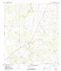
1965 Map of Ray Point
USGS Topo · Published 1992About this map
The boundary between Bee and Live Oak counties cuts through this South Texas landscape, where the confluence of Sulphur Creek and Mustang Creek defines the local topography. At the time of this survey, the area was characterized by a rural economy of ranching and early petroleum extraction, evidenced by numerous Oil Wells and a prominent pipeline corridor. The settlement of Ray Point serves as a local anchor near the southern edge, while smaller locales like Oaks and Bee sit further north. Genealogists will find the location of Wernli Cem and other Cemeteries valuable for tracing family roots in this sparsely populated region. The terrain is marked by distinctive drainages and rises, such as Odom Hill and Best Branch, which provided natural landmarks for residents before modern development altered the ranchland character.
Find a feature on this map
25 named features on this map. Tap any name to fly to it.
Don’t see what you’re looking for? This feature index may not catch every label — zoom into the map to look around manually.
Map Details
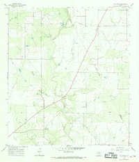
Editions of this 1965 Ray Point Map
2 editions found
Other maps of this area

1920 · Mikeska
USGS Topo · 1:125,000

1927 · Oakville
USGS Topo · 1:62,500

1936 · Pettus
USGS Topo · 1:62,500

1953 · Crystal City
USGS Topo · 1:250,000

1953 · Beeville
USGS Topo · 1:250,000

1954 · Fleming
USGS Topo · 1:62,500

1955 · Crystal City
USGS Topo · 1:250,000

1956 · Suniland
USGS Topo · 1:62,500

1956 · Beeville
USGS Topo · 1:250,000

1956 · Pettus
USGS Topo · 1:62,500