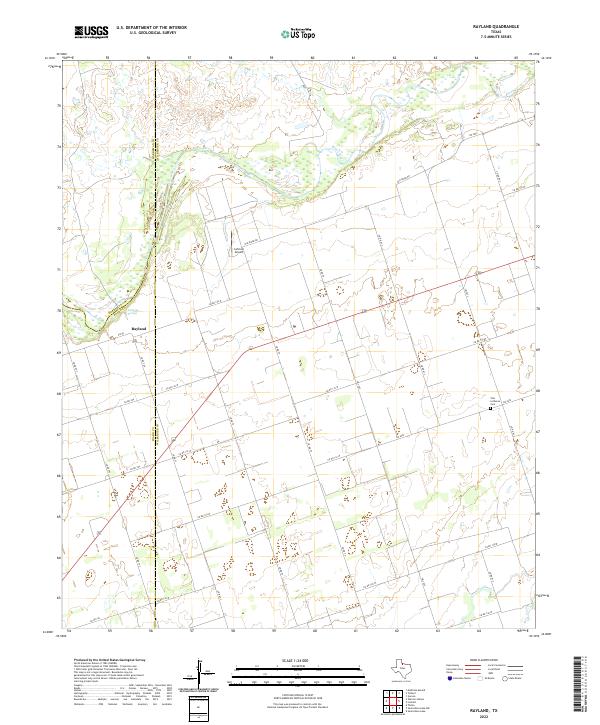
2022 Map of Rayland
USGS Topo · Published 2022This historical map portrays the area of Rayland in 2022, primarily covering Wilbarger County as well as portions of Foard County and Hardeman County. Featuring a scale of 1:24000, this map provides a highly detailed snapshot of the terrain, roads, buildings, counties, and historical landmarks in the Rayland region at the time. Published in 2022, it is the sole known edition of this map.
Map Details
Editions of this 2022 Rayland Map
This is the sole edition of this map. No revisions or reprints were ever made.
Historical Maps of Rayland Through Time
20 maps found
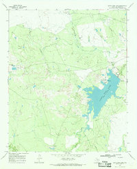
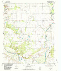
1966 Grayback
Wilbarger County, TX
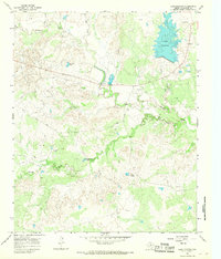
1966 Lake Electra
Wilbarger County, TX
1966 Santa Rosa Lake NW
Wilbarger County, TX
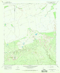
1966 Santa Rosa Lake
Wilbarger County, TX
1983 Boggy Creek
Wilbarger County, TX
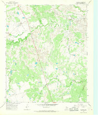
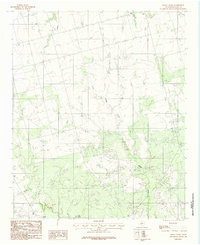
1983 Rayland
Wilbarger County, TX
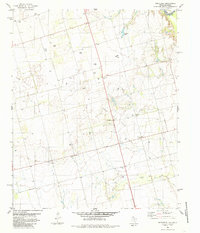
1983 Tolbert
Wilbarger County, TX
1985 Ayers Island
Wilbarger County, TX
1985 Northside
Wilbarger County, TX
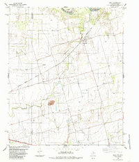
1985 Odell
Wilbarger County, TX
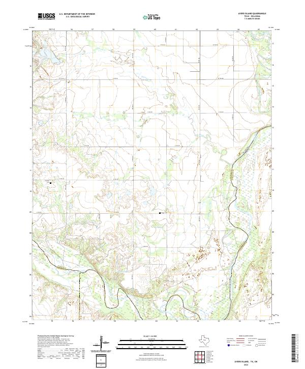
2022 Ayers Island
Wilbarger County, TX
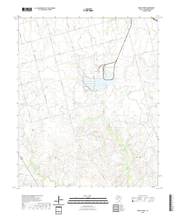
2022 Boggy Creek
Wilbarger County, TX
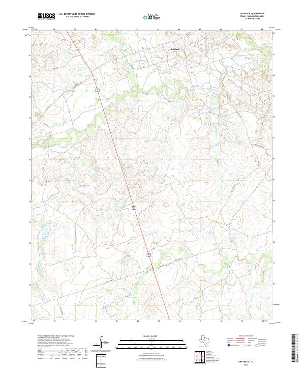
2022 Grayback
Wilbarger County, TX
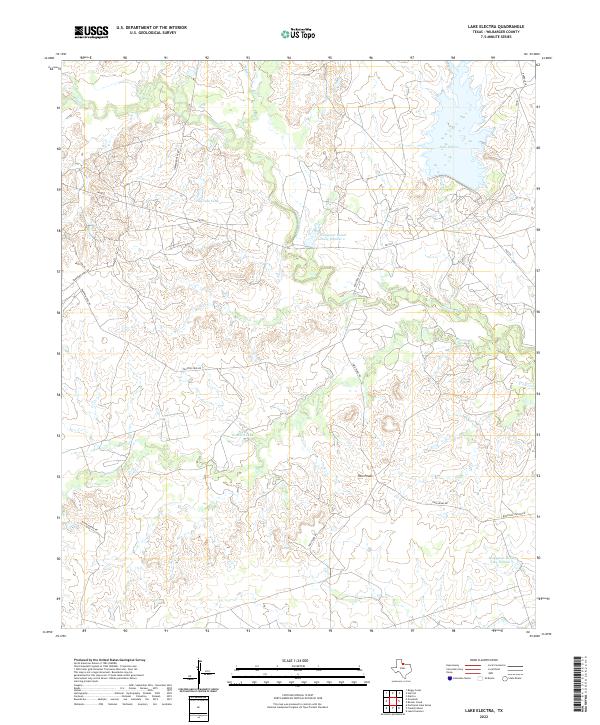
2022 Lake Electra
Wilbarger County, TX
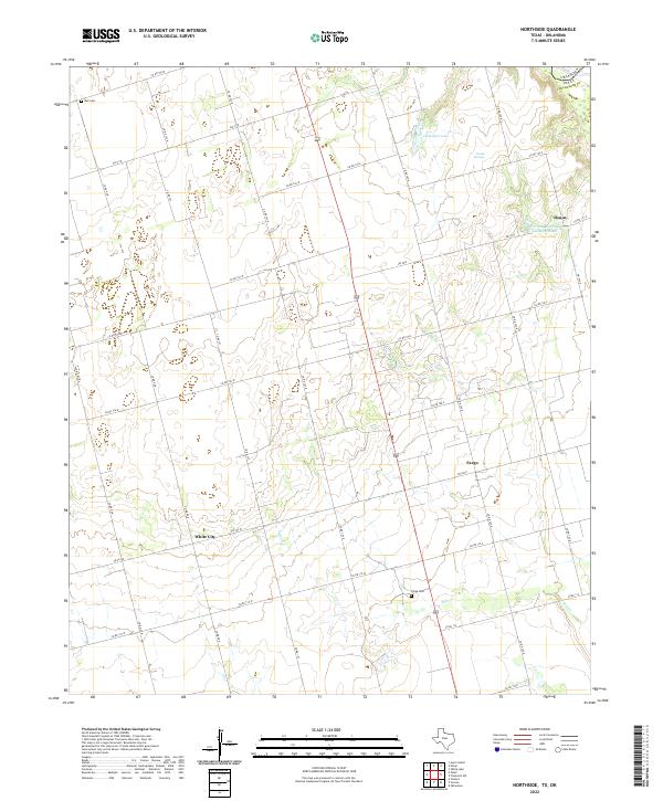
2022 Northside
Wilbarger County, TX
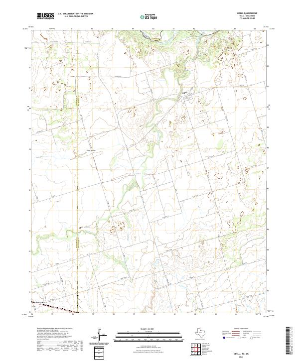
2022 Odell
Wilbarger County, TX
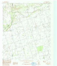
2022 Rayland
Wilbarger County, TX
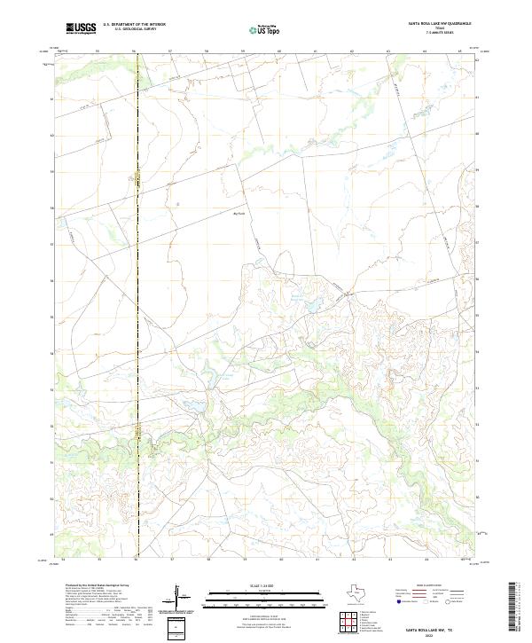
2022 Santa Rosa Lake NW
Wilbarger County, TX
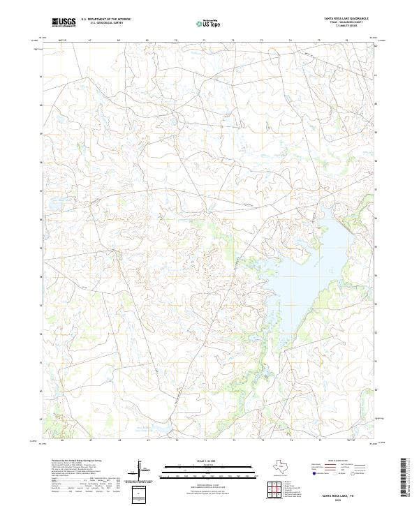
2022 Santa Rosa Lake
Wilbarger County, TX
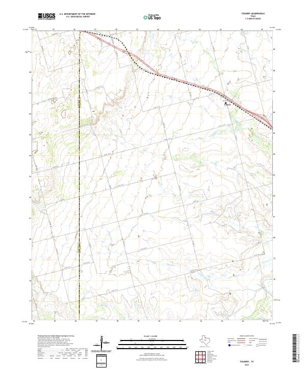
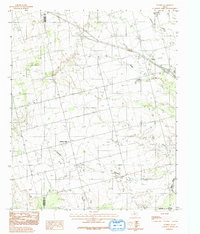
2022 Tolbert
Wilbarger County, TX