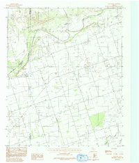
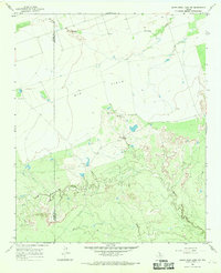
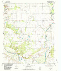
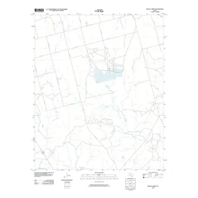
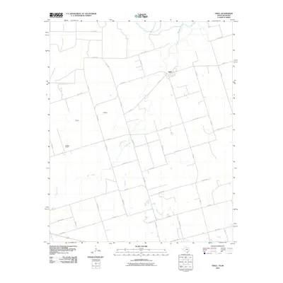
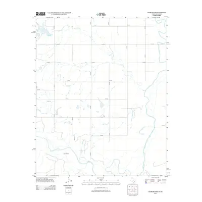
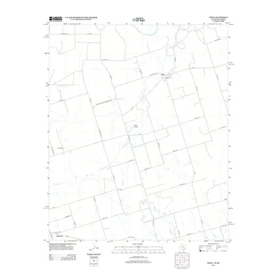
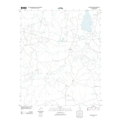
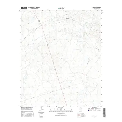
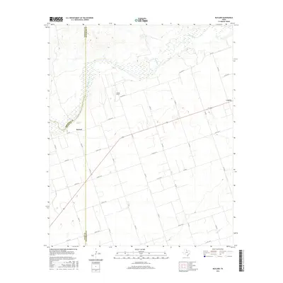
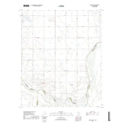
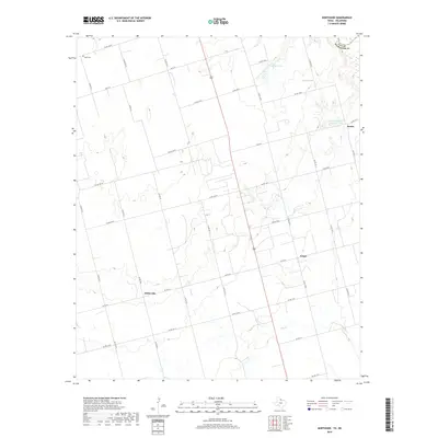
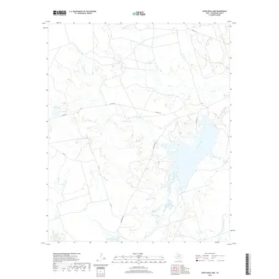
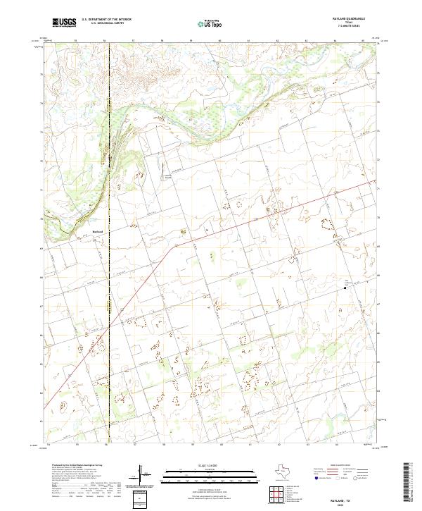
1983 Map of Rayland
USGS Topo · Published 1992About this map
Rayland and the surrounding rangeland of the Texas Rolling Plains appear here as they were documented in the early 1980s. The landscape is defined by the broad, sandy sweep of the Pease River, which forms the boundary between Hardeman and Wilbarger counties. This provisional survey captures the intersection of three counties—Hardeman, Wilbarger, and Foard—revealing a sparse settlement pattern tied to the water sources and land divisions of North Texas. Notable landmarks like Antelope Springs and Paradise Creek underscore the importance of hydrology in this semi-arid environment. Local history and genealogy interest is anchored by a rural Cem and the named area of Parsley, alongside a network of section lines and water wells that mark the agricultural development of the region.
Find a feature on this map
10 named features on this map. Tap any name to fly to it.
Don’t see what you’re looking for? This feature index may not catch every label — zoom into the map to look around manually.
Map Details
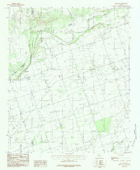
Editions of this 1983 Rayland Map
2 editions found
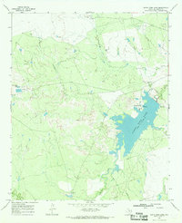
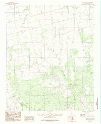
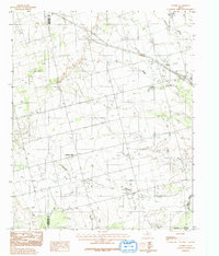
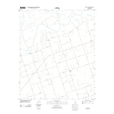
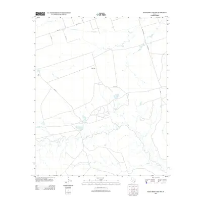
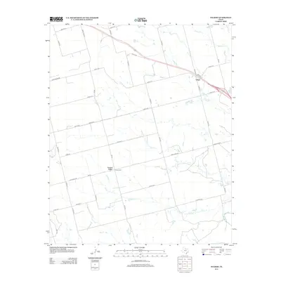
Historical Maps of Lockett Through Time
60 maps found
1966 Grayback
Wilbarger County, TX
1966 Lake Electra
Wilbarger County, TX
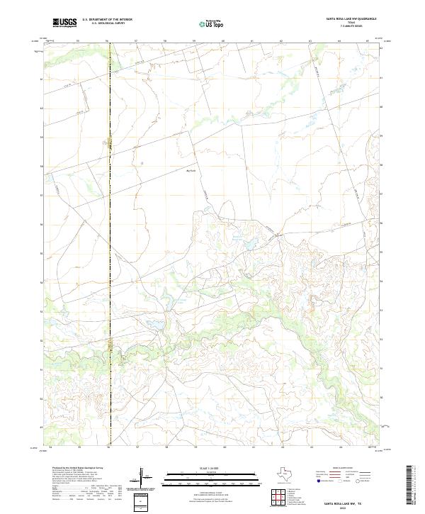
1966 Santa Rosa Lake NW
Wilbarger County, TX
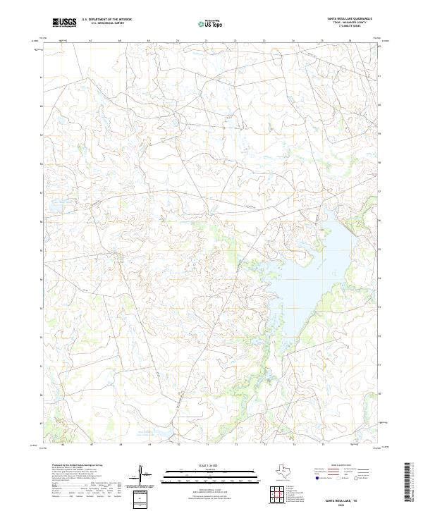
1966 Santa Rosa Lake
Wilbarger County, TX
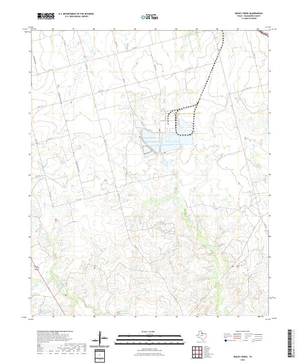
1983 Boggy Creek
Wilbarger County, TX
1983 Rayland
Wilbarger County, TX
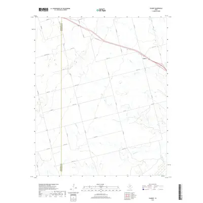
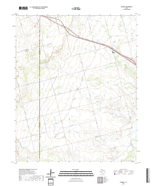
1983 Tolbert
Wilbarger County, TX
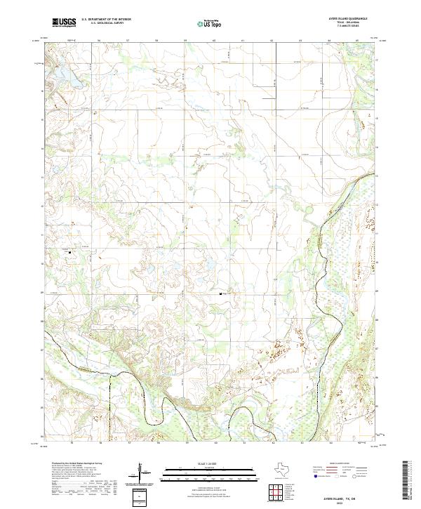
1985 Ayers Island
Wilbarger County, TX
1985 Northside
Wilbarger County, TX
1985 Odell
Wilbarger County, TX
2010 Ayers Island
Wilbarger County, TX
2010 Boggy Creek
Wilbarger County, TX
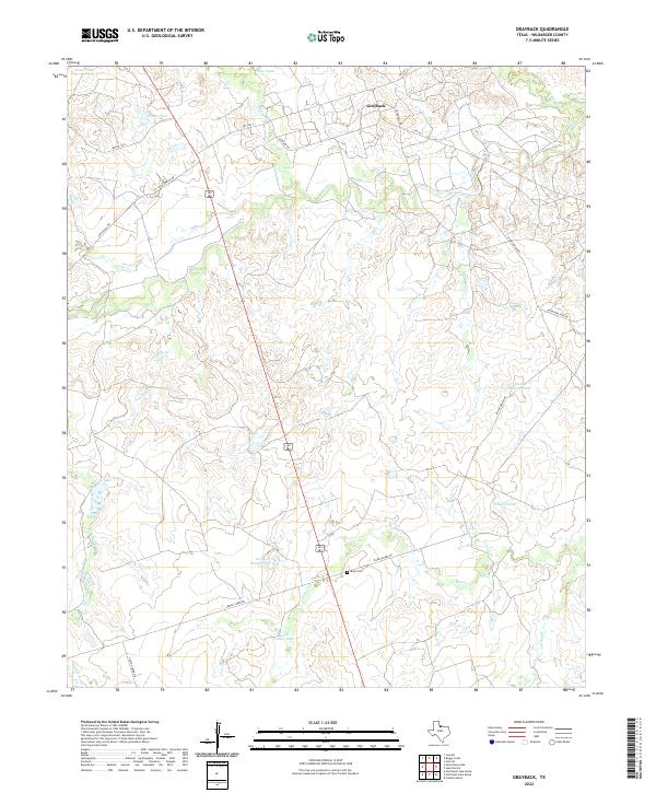
2010 Grayback
Wilbarger County, TX
2010 Lake Electra
Wilbarger County, TX
2010 Northside
Wilbarger County, TX
2010 Odell
Wilbarger County, TX
2010 Rayland
Wilbarger County, TX

2010 Santa Rosa Lake NW
Wilbarger County, TX
2010 Tolbert
Wilbarger County, TX
2011 Santa Rosa Lake
Wilbarger County, TX
2012 Ayers Island
Wilbarger County, TX
2012 Boggy Creek
Wilbarger County, TX
2012 Grayback
Wilbarger County, TX
2012 Northside
Wilbarger County, TX
2012 Odell
Wilbarger County, TX
2012 Rayland
Wilbarger County, TX
2012 Santa Rosa Lake NW
Wilbarger County, TX
2012 Tolbert
Wilbarger County, TX
2013 Lake Electra
Wilbarger County, TX
2013 Santa Rosa Lake
Wilbarger County, TX
2016 Ayers Island
Wilbarger County, TX
2016 Boggy Creek
Wilbarger County, TX
2016 Grayback
Wilbarger County, TX
2016 Lake Electra
Wilbarger County, TX
2016 Northside
Wilbarger County, TX
2016 Odell
Wilbarger County, TX
2016 Rayland
Wilbarger County, TX
2016 Santa Rosa Lake NW
Wilbarger County, TX
2016 Santa Rosa Lake
Wilbarger County, TX
2016 Tolbert
Wilbarger County, TX
2019 Ayers Island
Wilbarger County, TX
2019 Boggy Creek
Wilbarger County, TX
2019 Grayback
Wilbarger County, TX
2019 Lake Electra
Wilbarger County, TX
2019 Northside
Wilbarger County, TX
2019 Odell
Wilbarger County, TX
2019 Rayland
Wilbarger County, TX
2019 Santa Rosa Lake NW
Wilbarger County, TX
2019 Santa Rosa Lake
Wilbarger County, TX
2019 Tolbert
Wilbarger County, TX
2022 Ayers Island
Wilbarger County, TX
2022 Boggy Creek
Wilbarger County, TX
2022 Grayback
Wilbarger County, TX
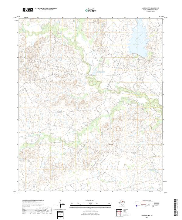
2022 Lake Electra
Wilbarger County, TX
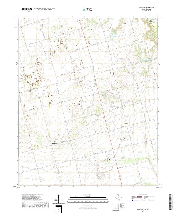
2022 Northside
Wilbarger County, TX
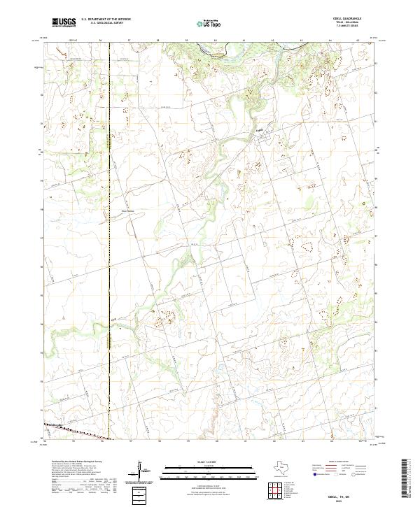
2022 Odell
Wilbarger County, TX
2022 Rayland
Wilbarger County, TX
2022 Santa Rosa Lake NW
Wilbarger County, TX
2022 Santa Rosa Lake
Wilbarger County, TX
2022 Tolbert
Wilbarger County, TX