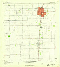
1956 Map of Raymondville
USGS Topo · Published 1958About this map
Raymondville serves as a hub for the coastal prairie of Willacy County during the mid-1950s, anchoring a landscape where engineered irrigation meets an expanding petroleum economy. The town's grid is dense with civic landmarks, including Northward Sch and the La Piedad Cementerio Numero Uno, while the Missouri Pacific railroad cuts a straight north-south line through the heart of the settlement. This rail corridor also serves the town of Lyford to the south, where Travis Sch and an athletic field define the local center.
Find a feature on this map
26 named features on this map. Tap any name to fly to it.
Don’t see what you’re looking for? This feature index may not catch every label — zoom into the map to look around manually.
Map Details
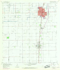
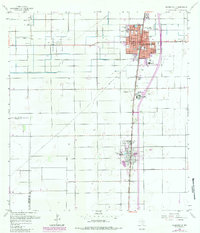
Editions of this 1956 Raymondville Map
3 editions found
Other maps of this area

1921 · Tarida Ranch
USGS Topo · 1:62,500

1922 · La Sal Vieja
USGS Topo · 1:62,500

1929 · Santa Rosa
USGS Topo · 1:24,000

1932 · Combes
USGS Topo · 1:31,680

1933 · Santa Rosa
USGS Topo · 1:31,680

1953 · Brownsville
USGS Topo · 1:250,000

1956 · San Perlita South
USGS Topo · 1:24,000

1956 · La Sal Vieja
USGS Topo · 1:24,000

1956 · San Perlita North
USGS Topo · 1:24,000

1956 · Santa Rosa
USGS Topo · 1:24,000
Featured Places
- Raymondville, TX
- Lyford, TX
- Ranchette Estates Colonia, TX
- Raymondville Tract Number 1 Colonia, TX
- Sandy Colonia, TX